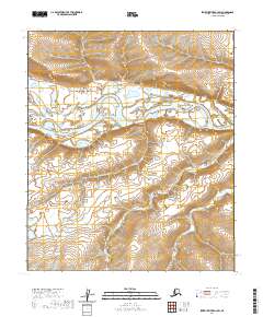
2020 Map of Ikpikpuk River A-3 SW
USGS Topo · Published 2020About this map
Colville River flows prominently through this section of the Arctic landscape, carving a wide, braided path across the North Slope. The river's winding course and shifting sandbars illustrate the dynamic nature of this northern waterway, which serves as a primary drainage for the Brooks Range to the south. In the southeastern portion of the map, Aupuk Cr meanders through the rolling terrain before joining larger systems. This 2020 topographic record highlights the complex hydrography of a region defined by its lack of permanent settlements and its vast network of seasonal watercourses. The survey provides precise elevation contours for the surrounding bluffs and lowlands within the North Slope Borough, detailing the intersection of Townships 4 and 5 South across Ranges 11 and 12 West.
Find a feature on this map
6 named features on this map. Tap any name to fly to it.
Don’t see what you’re looking for? This feature index may not catch every label — zoom into the map to look around manually.
Map Details
Editions of this 2020 Ikpikpuk River A-3 SW Map
This is the sole edition of this map. No revisions or reprints were ever made.
Other maps of this area

1951 · Ikpikpuk River
USGS Topo · 1:250,000

1951 · Killik River
USGS Topo · 1:250,000

1956 · Killik River
USGS Topo · 1:250,000

1956 · Ikpikpuk River
USGS Topo · 1:250,000
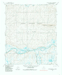
1984 · Ikpikpuk River A-4
USGS Topo · 1:63,360

1984 · Ikpikpuk River A-3
USGS Topo · 1:63,360
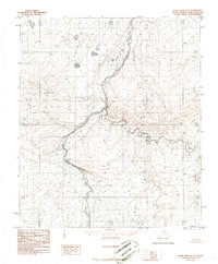
1986 · Killik River D-4
USGS Topo · 1:63,360
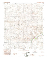
1986 · Killik River D-3
USGS Topo · 1:63,360
2016 · Killik River D-4 NE
USGS Topo · 1:25,000
2016 · Killik River D-3 NW
USGS Topo · 1:25,000