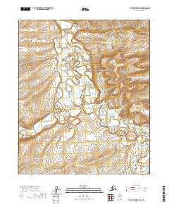
2020 Map of Ikpikpuk River B-3 SW
USGS Topo · Published 2020About this map
Ikpikpuk River and its intricate network of tributaries define this reach of the North Slope, where the drainage systems of the Kigalik River and Maybe Creek carve through the Arctic tundra. The landscape is characterized by its high-latitude hydrography, featuring the meandering paths of September Cr and Key Cr as they navigate the subtle shifts in elevation. Rising above the surrounding river basins, Howard Hill serves as a singular topographic landmark in an otherwise water-dominant environment. This 2020 survey provides a modern record of these remote waterways and their shifting courses, which remain central to the region's geography. The map also delineates the formal surveying framework of the Public Land Survey System, including the boundaries of t1s r12w and t1s r11w, documenting how this vast wilderness is structured for administrative and conservation purposes.
Find a feature on this map
10 named features on this map. Tap any name to fly to it.
Don’t see what you’re looking for? This feature index may not catch every label — zoom into the map to look around manually.
Map Details
Editions of this 2020 Ikpikpuk River B-3 SW Map
This is the sole edition of this map. No revisions or reprints were ever made.
Other maps of this area

1951 · Ikpikpuk River
USGS Topo · 1:250,000

1956 · Ikpikpuk River
USGS Topo · 1:250,000
1984 · Ikpikpuk River A-4
USGS Topo · 1:63,360

1984 · Ikpikpuk River A-3
USGS Topo · 1:63,360
1985 · Ikpikpuk River B-4
USGS Topo · 1:63,360

1985 · Ikpikpuk River B-3
USGS Topo · 1:63,360
2016 · Ikpikpuk River B-3 SE
USGS Topo · 1:25,000
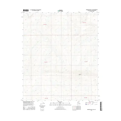
2016 · Ikpikpuk River A-4 NE
USGS Topo · 1:25,000
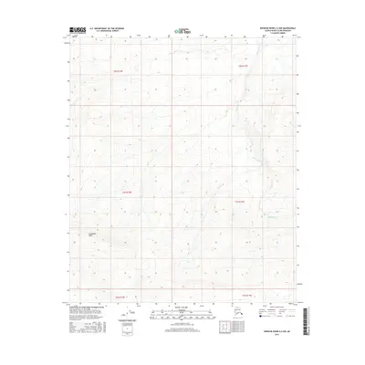
2016 · Ikpikpuk River A-3 NW
USGS Topo · 1:25,000
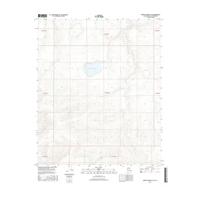
2016 · Ikpikpuk River B-3 NE
USGS Topo · 1:25,000