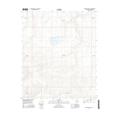
2016 Map of Ikpikpuk River B-3 NE
USGS Topo · Published 2016About this map
Watermelon Lake sits near the center of this terrain, a prominent landmark in the vast, unpopulated expanse of the North Slope. The landscape is defined by the winding course of Fry Cr, which drains the tundra through a complex series of elevation contours. This 2016 survey provides a precise view of the hydrography and public land survey boundaries, including t1n r10w, before any modern infrastructure touched this particular section of the Arctic wilderness. The absence of roads or permanent structures reflects the isolated character of the Ikpikpuk River basin, where only geographical features and township lines mark the map.
Find a feature on this map
10 named features on this map. Tap any name to fly to it.
Don’t see what you’re looking for? This feature index may not catch every label — zoom into the map to look around manually.
Map Details
Editions of this 2016 Ikpikpuk River B-3 NE Map
This is the sole edition of this map. No revisions or reprints were ever made.
Other maps of this area

1951 · Ikpikpuk River
USGS Topo · 1:250,000

1956 · Ikpikpuk River
USGS Topo · 1:250,000

1985 · Ikpikpuk River B-3
USGS Topo · 1:63,360
1985 · Ikpikpuk River C-2
USGS Topo · 1:63,360
1985 · Ikpikpuk River C-3
USGS Topo · 1:63,360
1985 · Ikpikpuk River B-2
USGS Topo · 1:63,360
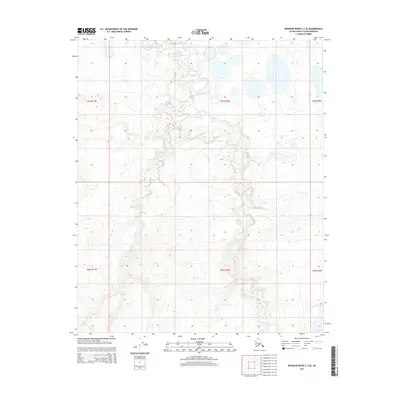
2015 · Ikpikpuk River C-3 SE
USGS Topo · 1:25,000
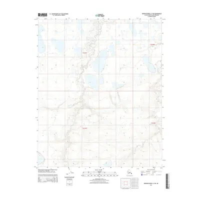
2015 · Ikpikpuk River C-2 SW
USGS Topo · 1:25,000
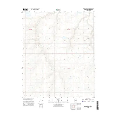
2015 · Ikpikpuk River C-3 SW
USGS Topo · 1:25,000
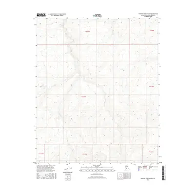
2016 · Ikpikpuk River B-2 NW
USGS Topo · 1:25,000