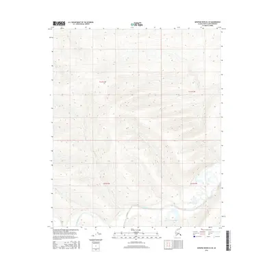
2016 Map of Ikpikpuk River B-4 SE
USGS Topo · Published 2016About this map
The Kigalik River meanders across the southern reaches of this landscape, carving a low-lying valley through the Arctic tundra of the North Slope. This 2016 survey provides a precise look at the drainage patterns and hydrologic features of the region, where the river's winding course is the primary geographical anchor. The map is organized by the Public Land Survey System, showing the junction of four townships: T1s R13w, T1s R12w, T2s R13w, and T2s R12w. Outside of the riparian corridor, the terrain is characterized by subtle elevation changes and complex wetlands, reflecting the unique environmental conditions of northern Alaska. Without settlements or roads, this map serves as a detailed record of the undisturbed natural topography as documented by the U.S. Geological Survey.
Find a feature on this map
5 named features on this map. Tap any name to fly to it.
Don’t see what you’re looking for? This feature index may not catch every label — zoom into the map to look around manually.
Map Details
Editions of this 2016 Ikpikpuk River B-4 SE Map
This is the sole edition of this map. No revisions or reprints were ever made.
Other maps of this area

1951 · Ikpikpuk River
USGS Topo · 1:250,000

1956 · Ikpikpuk River
USGS Topo · 1:250,000
1984 · Ikpikpuk River A-4
USGS Topo · 1:63,360

1984 · Ikpikpuk River A-3
USGS Topo · 1:63,360
1985 · Ikpikpuk River B-4
USGS Topo · 1:63,360

1985 · Ikpikpuk River B-3
USGS Topo · 1:63,360
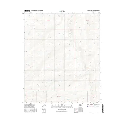
2016 · Ikpikpuk River B-4 NW
USGS Topo · 1:25,000
2016 · Ikpikpuk River A-4 NW
USGS Topo · 1:25,000
2016 · Ikpikpuk River A-4 NE
USGS Topo · 1:25,000
2016 · Ikpikpuk River A-3 NW
USGS Topo · 1:25,000