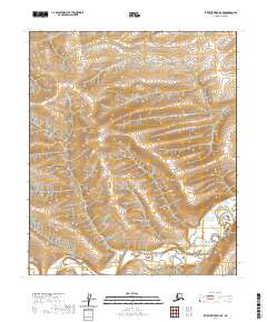
2020 Map of Ikpikpuk River B-4 SE
USGS Topo · Published 2020About this map
The Kigalik River meanders through the southern reaches of this North Slope landscape, defined by its complex network of oxbows and marshy lowlands. This 2020 survey illustrates a remote section of the Alaskan interior where the terrain transitions from gentle uplands in the north to the river-carved valleys of the south. The area is organized by the Public Land Survey System grid, spanning the intersections of t1s r13w, t1s r12w, t2s r13w, and t2s r12w. Without roads or established settlements, the map provides a focused look at the natural drainage patterns and topographical contours that dictate the movement of water across this permafrost-underlain environment.
Find a feature on this map
5 named features on this map. Tap any name to fly to it.
Don’t see what you’re looking for? This feature index may not catch every label — zoom into the map to look around manually.
Map Details
Editions of this 2020 Ikpikpuk River B-4 SE Map
This is the sole edition of this map. No revisions or reprints were ever made.
Other maps of this area

1951 · Ikpikpuk River
USGS Topo · 1:250,000

1956 · Ikpikpuk River
USGS Topo · 1:250,000
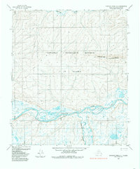
1984 · Ikpikpuk River A-4
USGS Topo · 1:63,360

1984 · Ikpikpuk River A-3
USGS Topo · 1:63,360
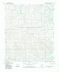
1985 · Ikpikpuk River B-4
USGS Topo · 1:63,360

1985 · Ikpikpuk River B-3
USGS Topo · 1:63,360
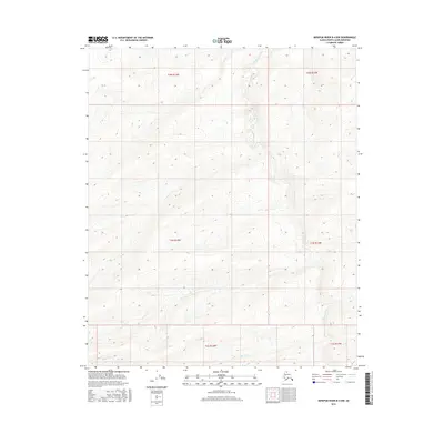
2016 · Ikpikpuk River B-4 NW
USGS Topo · 1:25,000
2016 · Ikpikpuk River A-4 NW
USGS Topo · 1:25,000
2016 · Ikpikpuk River A-4 NE
USGS Topo · 1:25,000
2016 · Ikpikpuk River A-3 NW
USGS Topo · 1:25,000