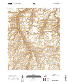
2020 Map of Ikpikpuk River C-3 SW
USGS Topo · Published 2020About this map
North Slope tundra and delicate hydrographic networks characterize this portion of the Arctic coastal plain as it was documented in 2020. The landscape is defined by the Public Land Survey System divisions of T3n R12w, T3n R11w, T2n R12w, and T2n R11w. These township and range designations provide the primary structural framework for a region otherwise dominated by a dense web of unnamed lakes, ponds, and wandering stream channels. This survey focuses on the physical geography of the permafrost-influenced terrain, capturing the intricate drainage patterns and subtle elevation changes that dictate the movement of water across this segment of the borough. The absence of named settlements or infrastructure reflects the extreme isolation and preservation of the natural landscape in this remote northern latitude.
Find a feature on this map
4 named features on this map. Tap any name to fly to it.
Don’t see what you’re looking for? This feature index may not catch every label — zoom into the map to look around manually.
Map Details
Editions of this 2020 Ikpikpuk River C-3 SW Map
This is the sole edition of this map. No revisions or reprints were ever made.
Other maps of this area

1951 · Ikpikpuk River
USGS Topo · 1:250,000

1956 · Ikpikpuk River
USGS Topo · 1:250,000
1985 · Ikpikpuk River B-4
USGS Topo · 1:63,360

1985 · Ikpikpuk River B-3
USGS Topo · 1:63,360
1985 · Ikpikpuk River C-3
USGS Topo · 1:63,360
1985 · Ikpikpuk River C-4
USGS Topo · 1:63,360
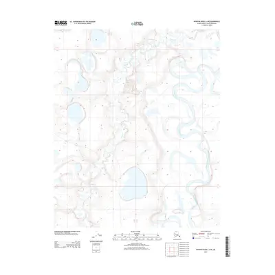
2013 · Ikpikpuk River C-4 NE
USGS Topo · 1:25,000
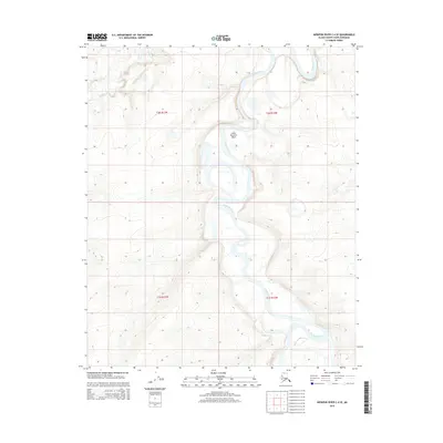
2015 · Ikpikpuk River C-4 SE
USGS Topo · 1:25,000
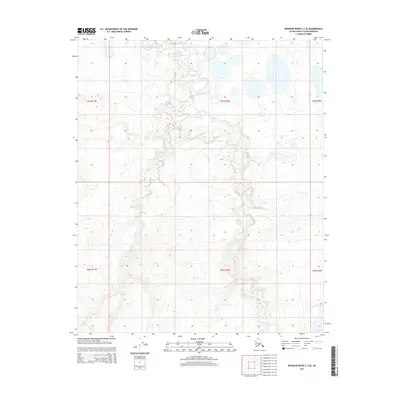
2015 · Ikpikpuk River C-3 SE
USGS Topo · 1:25,000
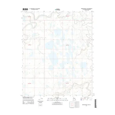
2015 · Ikpikpuk River C-3 NW
USGS Topo · 1:25,000