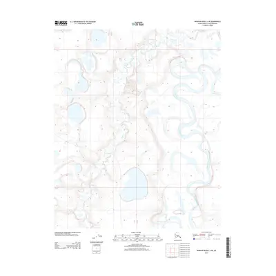
2013 Map of Ikpikpuk River C-4 NE
USGS Topo · Published 2013About this map
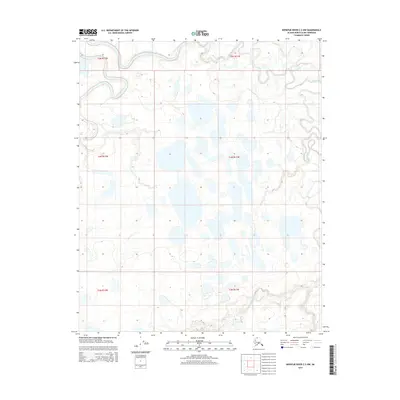
Ikpikpuk River meanders through the North Slope of Alaska, defining the eastern edge of this 2013 topographic survey. The landscape is dominated by the intricate hydrology of the Arctic coastal plain, where the main river channel winds in tight oxbows and loops across the tundra. Along the western half of the sheet, Bronx Creek (also labeled Bronx Cr) flows southward, cutting a path through an environment marked by numerous unnamed thermokarst lakes and seasonal ponds. This U. S. Geological Survey data illustrates the complex drainage patterns of the region before further shifts in the permafrost landscape, providing a precise record of the shoreline and water levels for these critical Arctic waterways at the start of the decade.
Find a feature on this map
3 named features on this map. Tap any name to fly to it.
Don’t see what you’re looking for? This feature index may not catch every label — zoom into the map to look around manually.
Map Details
Editions of this 2013 Ikpikpuk River C-4 NE Map
This is the sole edition of this map. No revisions or reprints were ever made.
Other maps of this area

1951 · Ikpikpuk River
USGS Topo · 1:250,000

1956 · Ikpikpuk River
USGS Topo · 1:250,000
1984 · Ikpikpuk River D-3
USGS Topo · 1:63,360
1985 · Ikpikpuk River C-3
USGS Topo · 1:63,360
1985 · Ikpikpuk River C-4
USGS Topo · 1:63,360
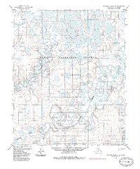
1985 · Ikpikpuk River D-4
USGS Topo · 1:63,360
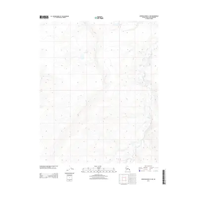
2013 · Ikpikpuk River C-4 SW
USGS Topo · 1:25,000
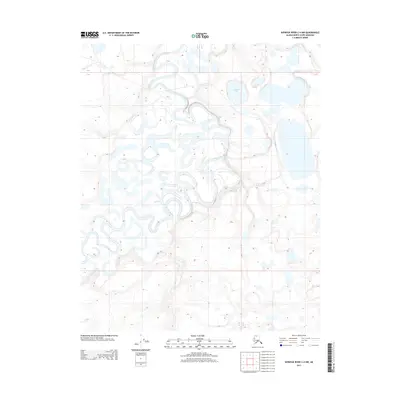
2013 · Ikpikpuk River C-4 NW
USGS Topo · 1:25,000
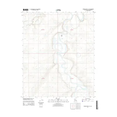
2015 · Ikpikpuk River C-4 SE
USGS Topo · 1:25,000
2015 · Ikpikpuk River C-3 NW
USGS Topo · 1:25,000