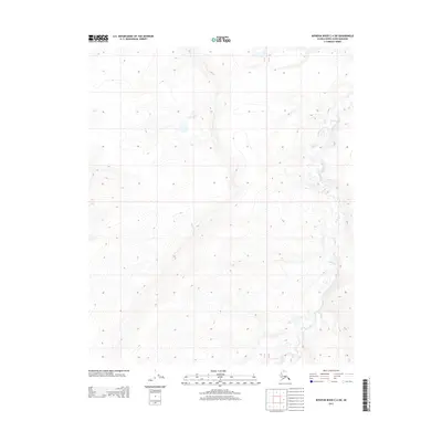
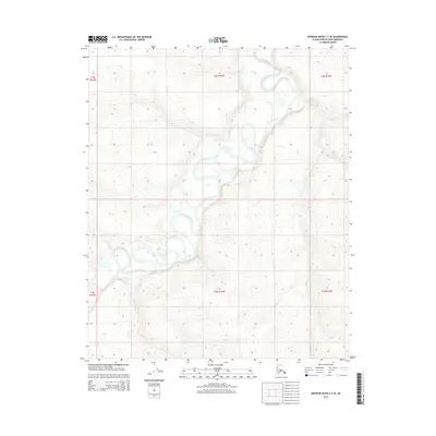
2013 Map of Ikpikpuk River C-4 SW
USGS Topo · Published 2013About this map
Bronx Cr meanders through the northeast and southeast portions of this remote Arctic quadrangle, defining the limited drainage pattern of the North Slope terrain. This 2013 survey represents the modern geospatial era of the Ikpikpuk River C-4 SW region, where the landscape is primarily characterized by subtle topographic contours and the absence of permanent human settlement or infrastructure. The map's primary utility lies in its precise documentation of the Public Land Survey System boundaries, specifically the intersection of townships T 3 N and T 2 N and ranges R 14 W and R 13 W, providing a foundational record for land management in this isolated portion of the borough.
Find a feature on this map
3 named features on this map. Tap any name to fly to it.
Don’t see what you’re looking for? This feature index may not catch every label — zoom into the map to look around manually.
Map Details
Editions of this 2013 Ikpikpuk River C-4 SW Map
This is the sole edition of this map. No revisions or reprints were ever made.
Other maps of this area

1951 · Ikpikpuk River
USGS Topo · 1:250,000

1956 · Ikpikpuk River
USGS Topo · 1:250,000
1985 · Ikpikpuk River B-4
USGS Topo · 1:63,360
1985 · Ikpikpuk River C-4
USGS Topo · 1:63,360
1985 · Ikpikpuk River C-5
USGS Topo · 1:63,360
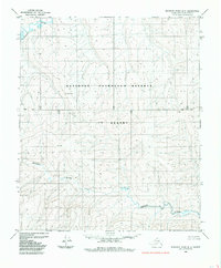
1985 · Ikpikpuk River B-5
USGS Topo · 1:63,360
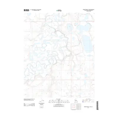
2013 · Ikpikpuk River C-4 NW
USGS Topo · 1:25,000
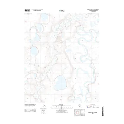
2013 · Ikpikpuk River C-4 NE
USGS Topo · 1:25,000
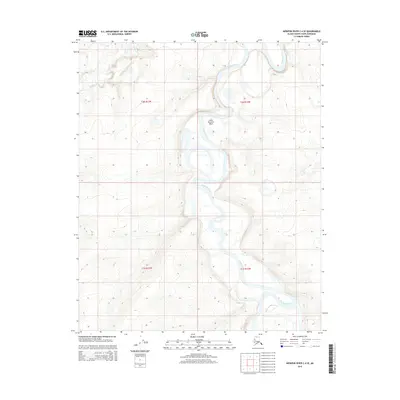
2015 · Ikpikpuk River C-4 SE
USGS Topo · 1:25,000
2015 · Ikpikpuk River C-5 SE
USGS Topo · 1:25,000