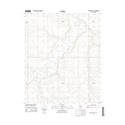
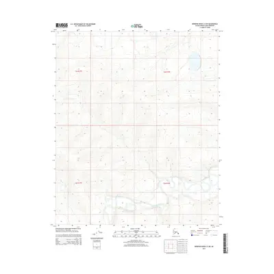
2015 Map of Ikpikpuk River C-5 SE
USGS Topo · Published 2015About this map
The Titaluk River winds through this northern landscape, carving a complex series of oxbows and meanders across the coastal plain. The terrain is defined by low-lying wetlands and subtle topographic changes, where the water's path shift over time is visible in the abandoned channels and lake-strewn flats. This 2015 survey by the U.S. Department of the Interior and the U.S. Geological Survey provides a precise view of the hydrology and public land boundaries during the early 21st century. The map is organized by the Public Land Survey System, illustrating the townships of t3n r15w and t2n r15w among others, which serve as the primary spatial framework for this remote section of the North Slope.
Find a feature on this map
7 named features on this map. Tap any name to fly to it.
Don’t see what you’re looking for? This feature index may not catch every label — zoom into the map to look around manually.
Map Details
Editions of this 2015 Ikpikpuk River C-5 SE Map
This is the sole edition of this map. No revisions or reprints were ever made.
Other maps of this area

1951 · Ikpikpuk River
USGS Topo · 1:250,000

1956 · Ikpikpuk River
USGS Topo · 1:250,000
1985 · Ikpikpuk River B-4
USGS Topo · 1:63,360
1985 · Ikpikpuk River C-4
USGS Topo · 1:63,360
1985 · Ikpikpuk River C-5
USGS Topo · 1:63,360
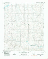
1985 · Ikpikpuk River B-5
USGS Topo · 1:63,360
2013 · Ikpikpuk River C-4 SW
USGS Topo · 1:25,000
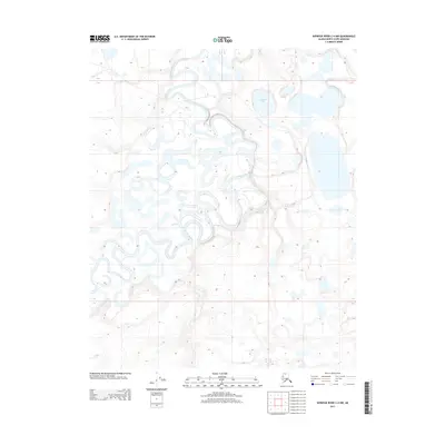
2013 · Ikpikpuk River C-4 NW
USGS Topo · 1:25,000
2015 · Ikpikpuk River C-5 NW
USGS Topo · 1:25,000
2015 · Ikpikpuk River C-5 SW
USGS Topo · 1:25,000