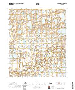
2020 Map of Ikpikpuk River D-2 SE
USGS Topo · Published 2020About this map
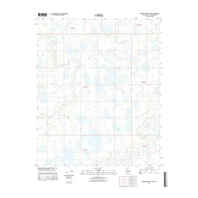
Hydrological patterns on the North Slope define this remote sub-arctic landscape, where the meandering Price River cuts across the southwest corner of the quadrangle. The terrain is characterized by a dense network of wetlands and seasonal water bodies typical of the Arctic coastal plain, reflecting the complex drainage systems that emerge during the summer thaw. Flowing through the eastern sections, Key Creek provides a primary drainage corridor toward the Ikpikpuk River system. The mapping of township boundaries like t6n r8w and t5n r7w illustrates the systematic Bureau of Land Management surveying of these vast northern reaches. This 2020 data, utilizing imagery from SPOT, captures the land in a moment of modern ecological monitoring, offering a precise view of the shift in water distribution and landform stability in a region largely devoid of human infrastructure.
Find a feature on this map
6 named features on this map. Tap any name to fly to it.
Don’t see what you’re looking for? This feature index may not catch every label — zoom into the map to look around manually.
Map Details
Editions of this 2020 Ikpikpuk River D-2 SE Map
This is the sole edition of this map. No revisions or reprints were ever made.
Other maps of this area

1951 · Ikpikpuk River
USGS Topo · 1:250,000

1956 · Ikpikpuk River
USGS Topo · 1:250,000
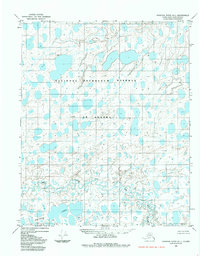
1984 · Ikpikpuk River D-1
USGS Topo · 1:63,360
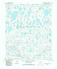
1984 · Ikpikpuk River D-2
USGS Topo · 1:63,360
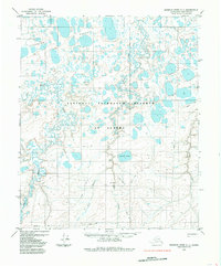
1985 · Ikpikpuk River C-1
USGS Topo · 1:63,360
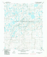
1985 · Ikpikpuk River C-2
USGS Topo · 1:63,360
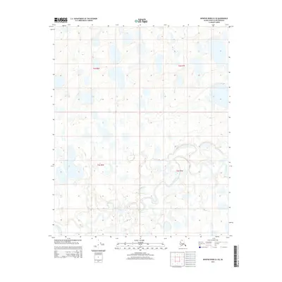
2015 · Ikpikpuk River D-2 SE
USGS Topo · 1:25,000
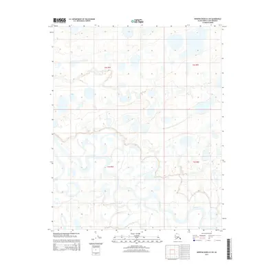
2015 · Ikpikpuk River D-2 SW
USGS Topo · 1:25,000
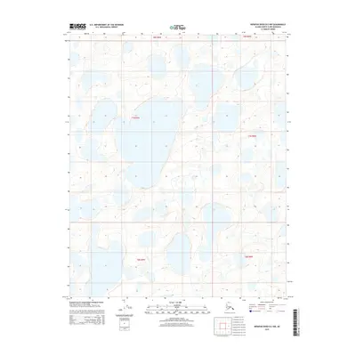
2015 · Ikpikpuk River D-2 NW
USGS Topo · 1:25,000
2015 · Ikpikpuk River C-2 NW
USGS Topo · 1:25,000