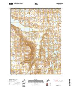
2018 Map of Iliamna B-5 SE
USGS Topo · Published 2018About this map
Gibraltar Lake sits at the center of this remote landscape where the Aleutian Range slopes toward the shoreline. The topography reveals a dramatic transition from the high, glacier-carved peaks in the south to the complex network of wetlands and small ponds in the north. Within the southern boundary, a portion of the Katmai National Preserve is protected, marking the edge of a vast wilderness. The hydrology is defined by the drainage of Dream Cr and other unnamed tributaries that feed into the larger basins. This 2018 survey captures the intersection of the Lake and Peninsula Borough and Kenai Peninsula Borough, illustrating the administrative and physical geography of this coastal mountain region.
Find a feature on this map
11 named features on this map. Tap any name to fly to it.
Don’t see what you’re looking for? This feature index may not catch every label — zoom into the map to look around manually.
Map Details
Editions of this 2018 Iliamna B-5 SE Map
This is the sole edition of this map. No revisions or reprints were ever made.
Other maps of this area

1951 · Iliamna A-5
USGS Topo · 1:63,360

1951 · Iliamna A-4
USGS Topo · 1:63,360

1951 · Iliamna B-5
USGS Topo · 1:63,360

1952 · Iliamna
USGS Topo · 1:250,000

1952 · Iliamna A-4
USGS Topo · 1:63,360

1952 · Iliamna A-5
USGS Topo · 1:63,360

1954 · Iliamna B-4
USGS Topo · 1:63,360
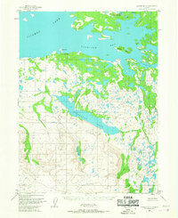
1954 · Iliamna B-5
USGS Topo · 1:63,360

1957 · Iliamna
USGS Topo · 1:250,000
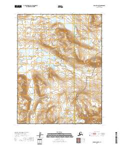
2018 · Iliamna A-5 NW
USGS Topo · 1:25,000