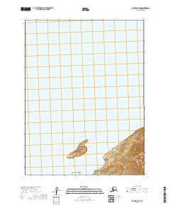
2019 Map of Iliamna B-7 NE
USGS Topo · Published 2019About this map
Iliamna Lake dominates this northern Alaskan landscape, providing a clear view of the shoreline and aquatic boundaries in the Lake and Peninsula Borough. The map highlights the western reach of the lake where it meets the protected waters of Reindeer Bay. Rising from the water, the landform of Big Island stands as a prominent landmark in the southern portion of the sheet. This 2019 survey documents the specific township and range divisions, such as t9s r36w and t8s r36w, which define the land management and survey grid for this section of the Alaskan wilderness. The map is primarily focused on the interface between the lake surface and the immediate coastal topography.
Find a feature on this map
7 named features on this map. Tap any name to fly to it.
Don’t see what you’re looking for? This feature index may not catch every label — zoom into the map to look around manually.
Map Details
Editions of this 2019 Iliamna B-7 NE Map
This is the sole edition of this map. No revisions or reprints were ever made.
Other maps of this area

1951 · Iliamna B-7
USGS Topo · 1:63,360

1951 · Iliamna B-6
USGS Topo · 1:63,360

1952 · Iliamna
USGS Topo · 1:250,000

1954 · Iliamna C-6
USGS Topo · 1:63,360
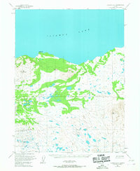
1954 · Iliamna B-6
USGS Topo · 1:63,360
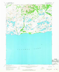
1954 · Iliamna C-7
USGS Topo · 1:63,360

1957 · Iliamna
USGS Topo · 1:250,000
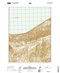
2019 · Iliamna B-7 SW
USGS Topo · 1:25,000
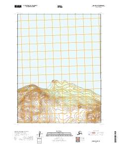
2019 · Iliamna B-6 NW
USGS Topo · 1:25,000
2019 · Iliamna C-7 SE
USGS Topo · 1:25,000