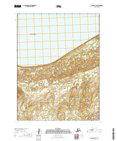
2019 Map of Iliamna B-7 SW
USGS Topo · Published 2019About this map
Iliamna Lake dominates the northern reaches of this coastal landscape, where the waters of the lake meet a shoreline defined by complex wetlands and drainage systems. This 2019 survey captures the transition from the lake's southern edge into the protected wilderness of the Katmai National Preserve, which occupies the southeastern corner of the quadrangle. The topography is characterized by the meandering path of Pecks Cr and the isolated landmark of Shoulderblade Island, situated just offshore. The map provides a precise look at the township and range divisions within the Lake and Peninsula Borough, documenting a region where land use is defined by conservation and the natural hydrology of the Bristol Bay watershed rather than industrial or residential development.
Find a feature on this map
10 named features on this map. Tap any name to fly to it.
Don’t see what you’re looking for? This feature index may not catch every label — zoom into the map to look around manually.
Map Details
Editions of this 2019 Iliamna B-7 SW Map
This is the sole edition of this map. No revisions or reprints were ever made.
Other maps of this area

1951 · Iliamna A-7
USGS Topo · 1:63,360

1951 · Iliamna A-8
USGS Topo · 1:63,360

1951 · Iliamna B-7
USGS Topo · 1:63,360

1952 · Iliamna
USGS Topo · 1:250,000
1952 · Iliamna A-8
USGS Topo · 1:63,360
1954 · Iliamna B-8
USGS Topo · 1:63,360

1957 · Iliamna
USGS Topo · 1:250,000
2019 · Iliamna B-8 SE
USGS Topo · 1:25,000
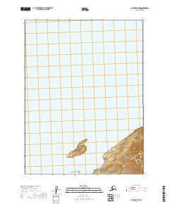
2019 · Iliamna B-7 NE
USGS Topo · 1:25,000
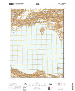
2019 · Iliamna A-7 NE
USGS Topo · 1:25,000