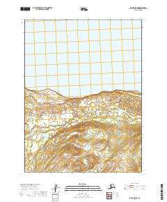
2019 Map of Iliamna B-8 SE
USGS Topo · Published 2019About this map
Iliamna Lake dominates the northern half of this remote Alaskan terrain, where the water meets a low-lying shoreline marked by complex wetland patterns and small coastal ponds. South of the lake, the topography rises steadily from the beach toward the foothills, carved by the drainage of Pecks Cr. This landscape is primarily defined by its natural hydrology and the rectilinear boundaries of the Public Land Survey System, including t10s r38w and t11s r39w. The transition from the massive freshwater expanse to the rising inland slopes illustrates a wilderness area largely untouched by permanent road infrastructure or named settlements at the time of this survey.
Find a feature on this map
8 named features on this map. Tap any name to fly to it.
Don’t see what you’re looking for? This feature index may not catch every label — zoom into the map to look around manually.
Map Details
Editions of this 2019 Iliamna B-8 SE Map
This is the sole edition of this map. No revisions or reprints were ever made.
Other maps of this area

1951 · Iliamna A-7
USGS Topo · 1:63,360

1951 · Iliamna A-8
USGS Topo · 1:63,360

1951 · Iliamna B-7
USGS Topo · 1:63,360

1952 · Iliamna
USGS Topo · 1:250,000
1952 · Iliamna A-8
USGS Topo · 1:63,360
1954 · Iliamna B-8
USGS Topo · 1:63,360

1957 · Iliamna
USGS Topo · 1:250,000
2019 · Iliamna B-7 SW
USGS Topo · 1:25,000
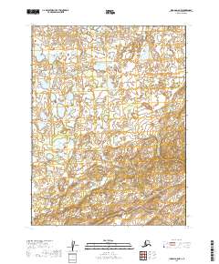
2019 · Iliamna A-8 NW
USGS Topo · 1:25,000
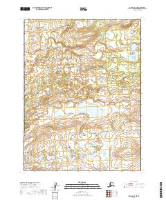
2019 · Iliamna A-8 NE
USGS Topo · 1:25,000