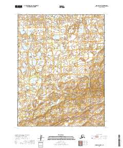
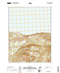
2019 Map of Iliamna A-8 NW
USGS Topo · Published 2019About this map
Ole Cr meanders through the wetlands and rolling terrain of this northern Bristol Bay region, where the vast drainage patterns of southwestern Alaska are meticulously documented. This 2019 geospatial study by the U.S. Geological Survey captures the transition between t11s r40w and t11s r39w, showcasing a landscape dominated by interconnected lakes and seasonal ponds. The map provides a detailed view of the remote wilderness near the base of the Alaska Peninsula, where the absence of roads or permanent structures reflects the preserved natural state of the Lake and Peninsula Borough. The survey accurately reflects the contemporary hydrography and public land survey system divisions, including t12s r40w and t12s r39w, serving as a critical reference for understanding water flow and land management in this isolated quadrant.
Find a feature on this map
5 named features on this map. Tap any name to fly to it.
Don’t see what you’re looking for? This feature index may not catch every label — zoom into the map to look around manually.
Map Details
Editions of this 2019 Iliamna A-8 NW Map
This is the sole edition of this map. No revisions or reprints were ever made.
Other maps of this area

1951 · Dillingham
USGS Topo · 1:250,000

1951 · Iliamna A-8
USGS Topo · 1:63,360

1951 · Dillingham A-1
USGS Topo · 1:63,360

1952 · Iliamna
USGS Topo · 1:250,000
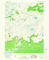
1952 · Iliamna A-8
USGS Topo · 1:63,360

1954 · Dillingham
USGS Topo · 1:250,000
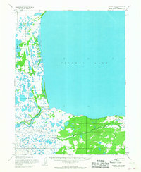
1954 · Iliamna B-8
USGS Topo · 1:63,360
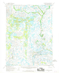
1954 · Dillingham B-1
USGS Topo · 1:63,360

1957 · Iliamna
USGS Topo · 1:250,000
2019 · Iliamna B-8 SE
USGS Topo · 1:25,000