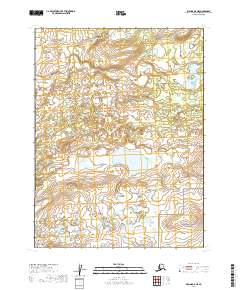
2019 Map of Iliamna A-8 NE
USGS Topo · Published 2019About this map
Katmai National Preserve anchors the southeastern corner of this landscape, where the terrain begins to rise significantly toward the interior of the Alaska Peninsula. The northern reaches of the quadrangle are defined by a complex network of wetlands and small water bodies typical of the Lake and Peninsula Borough, centered around the prominent Reindeer Lake. Flowing through the central-western portion, Ole Cr drains through a series of lower-lying basins. The map illustrates a largely roadless wilderness, with the survey grid established through townships t11s r39w, t11s r38w, t12s r39w, and t12s r38w. This layout highlights the intersection of protected federal lands and the open, watery tundra of southwestern Alaska, providing a clear record of the area's geography in the late twenty-first century.
Find a feature on this map
7 named features on this map. Tap any name to fly to it.
Don’t see what you’re looking for? This feature index may not catch every label — zoom into the map to look around manually.
Map Details
Editions of this 2019 Iliamna A-8 NE Map
This is the sole edition of this map. No revisions or reprints were ever made.
Other maps of this area

1951 · Iliamna A-7
USGS Topo · 1:63,360

1951 · Iliamna A-8
USGS Topo · 1:63,360

1951 · Iliamna B-7
USGS Topo · 1:63,360

1952 · Iliamna
USGS Topo · 1:250,000
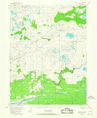
1952 · Iliamna A-8
USGS Topo · 1:63,360
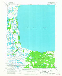
1954 · Iliamna B-8
USGS Topo · 1:63,360

1957 · Iliamna
USGS Topo · 1:250,000
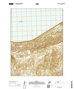
2019 · Iliamna B-7 SW
USGS Topo · 1:25,000
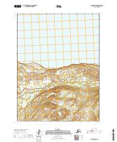
2019 · Iliamna B-8 SE
USGS Topo · 1:25,000
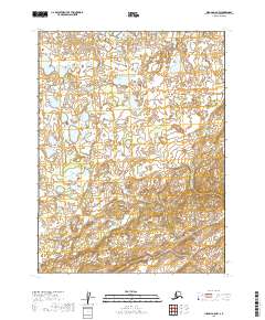
2019 · Iliamna A-8 NW
USGS Topo · 1:25,000