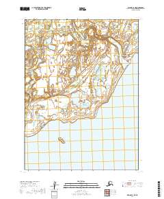
2019 Map of Iliamna C-6 NE
USGS Topo · Published 2019About this map
Newhalen sits at the confluence of the Newhalen River and the northern shores of Iliamna Lake, marking a significant point of settlement in the Lake and Peninsula region. The town's layout is defined by local thoroughfares such as Hudville Road and Wassillie Lane, which connect residential areas to the Newhalen Graveyard and provide access to the surrounding tundra and waterways.
Find a feature on this map
13 named features on this map. Tap any name to fly to it.
Don’t see what you’re looking for? This feature index may not catch every label — zoom into the map to look around manually.
Map Details
Editions of this 2019 Iliamna C-6 NE Map
This is the sole edition of this map. No revisions or reprints were ever made.
Other maps of this area

1952 · Iliamna
USGS Topo · 1:250,000

1954 · Iliamna C-6
USGS Topo · 1:63,360

1954 · Iliamna C-5
USGS Topo · 1:63,360

1954 · Iliamna D-5
USGS Topo · 1:63,360
1954 · Iliamna D-6
USGS Topo · 1:63,360

1957 · Iliamna
USGS Topo · 1:250,000
2018 · Iliamna C-5 NW
USGS Topo · 1:25,000
2018 · Iliamna C-5 SW
USGS Topo · 1:25,000
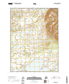
2018 · Iliamna D-5 SW
USGS Topo · 1:25,000
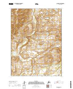
2019 · Iliamna D-6 SW
USGS Topo · 1:25,000