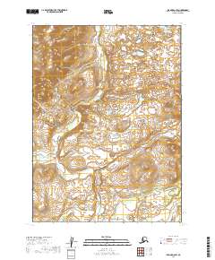
2019 Map of Iliamna D-6 SW
USGS Topo · Published 2019About this map
Upper Talarik Creek winds through this undeveloped expanse of the Lake and Peninsula Borough, tracing a complex network of wetlands and tundra. The terrain is characterized by a high density of small lakes and ponds, particularly within the northern townships of t3s r35w and t3s r34w. To the southeast, the headwaters of Pete Andrews Creek emerge, further defining the local drainage patterns. This 2019 survey documents a landscape nearly devoid of modern infrastructure or permanent settlements, preserving a snapshot of the Alaskan wilderness where natural waterways serve as the primary landmarks across the public land survey grid.
Find a feature on this map
8 named features on this map. Tap any name to fly to it.
Don’t see what you’re looking for? This feature index may not catch every label — zoom into the map to look around manually.
Map Details
Editions of this 2019 Iliamna D-6 SW Map
This is the sole edition of this map. No revisions or reprints were ever made.
Other maps of this area

1952 · Iliamna
USGS Topo · 1:250,000

1954 · Iliamna C-6
USGS Topo · 1:63,360
1954 · Iliamna C-7
USGS Topo · 1:63,360

1954 · Iliamna D-7
USGS Topo · 1:63,360
1954 · Iliamna D-6
USGS Topo · 1:63,360

1957 · Iliamna
USGS Topo · 1:250,000
2019 · Iliamna D-7 NE
USGS Topo · 1:25,000
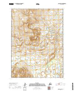
2019 · Iliamna D-6 NW
USGS Topo · 1:25,000
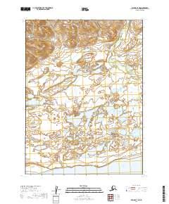
2019 · Iliamna C-7 NE
USGS Topo · 1:25,000
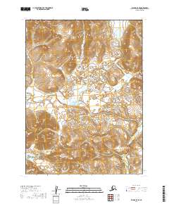
2019 · Iliamna D-7 SE
USGS Topo · 1:25,000