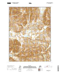
2019 Map of Iliamna D-7 SE
USGS Topo · Published 2019About this map
Sharp Mtn anchors the southwestern landscape of this southwestern Alaska region, where the terrain is defined by complex drainage systems and high-elevation relief. The Koktuli River winds through the central portion of the quadrangle, serving as a primary hydrological feature in this roadless wilderness. To the southeast, the headwaters of Upper Tularik Creek (also labeled as Upper Tularik Cr) emerge from the slopes, illustrating the intricate network of alpine streams that feed the larger Bristol Bay watershed. This U.S. Geological Survey representation highlights a landscape primarily shaped by natural forces, showing no permanent settlements or industrial infrastructure at the time of this 2019 data compilation. The transition from the high peaks near the mountain down to the marshy river bottoms reveals the stark environmental character of the Lake and Peninsula Borough.
Find a feature on this map
10 named features on this map. Tap any name to fly to it.
Don’t see what you’re looking for? This feature index may not catch every label — zoom into the map to look around manually.
Map Details
Editions of this 2019 Iliamna D-7 SE Map
This is the sole edition of this map. No revisions or reprints were ever made.
Other maps of this area

1952 · Iliamna
USGS Topo · 1:250,000

1954 · Iliamna C-6
USGS Topo · 1:63,360
1954 · Iliamna C-7
USGS Topo · 1:63,360

1954 · Iliamna D-7
USGS Topo · 1:63,360
1954 · Iliamna D-6
USGS Topo · 1:63,360

1957 · Iliamna
USGS Topo · 1:250,000
2019 · Iliamna D-7 NW
USGS Topo · 1:25,000
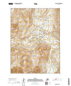
2019 · Iliamna D-7 NE
USGS Topo · 1:25,000
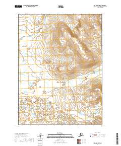
2019 · Iliamna D-7 SW
USGS Topo · 1:25,000
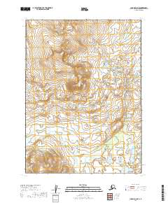
2019 · Iliamna D-6 NW
USGS Topo · 1:25,000