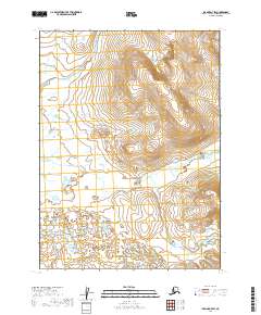
2019 Map of Iliamna D-7 SW
USGS Topo · Published 2019About this map
The Koktuli River winds across this section of the Lake and Peninsula Borough, illustrating the complex drainage patterns of the Alaska wilderness. The terrain is defined by a dense network of wetlands and small water bodies that predominate the western half of the sheet, while the eastern portion rises toward higher elevations marked by intricate contour intervals. Surveyed under the Public Land Survey System, the map details the boundaries of townships t3s r37w, t3s r36w, t4s r37w, and t4s r36w. This landscape is primarily a hydrographic study, showing how the river system interacts with the surrounding low-lying marshes and the adjacent sloping terrain.
Find a feature on this map
7 named features on this map. Tap any name to fly to it.
Don’t see what you’re looking for? This feature index may not catch every label — zoom into the map to look around manually.
Map Details
Editions of this 2019 Iliamna D-7 SW Map
This is the sole edition of this map. No revisions or reprints were ever made.
Other maps of this area

1952 · Iliamna
USGS Topo · 1:250,000

1954 · Iliamna C-8
USGS Topo · 1:63,360

1954 · Iliamna D-8
USGS Topo · 1:63,360
1954 · Iliamna C-7
USGS Topo · 1:63,360

1954 · Iliamna D-7
USGS Topo · 1:63,360

1957 · Iliamna
USGS Topo · 1:250,000
2019 · Iliamna D-7 NW
USGS Topo · 1:25,000
2019 · Iliamna D-7 NE
USGS Topo · 1:25,000
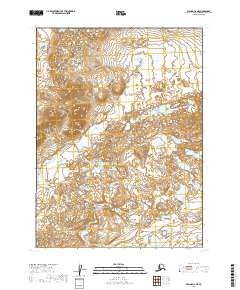
2019 · Iliamna C-8 NE
USGS Topo · 1:25,000
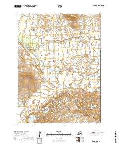
2019 · Iliamna D-8 SE
USGS Topo · 1:25,000