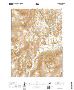
2019 Map of Iliamna D-7 NW
USGS Topo · Published 2019About this map
Lake and Peninsula Borough in southwestern Alaska is defined by its dramatic topographic relief and extensive wetlands, as seen in this 2019 survey. The landscape transitions between high peaks and water-saturated lowlands, with elevations reaching over 2,200 feet in the southern sections. This area is organized by the Public Land Survey System into several townships, including T2s R37w, T2s R36w, T3s R37w, and T3s R36w. The lack of named settlements or roads underscores the wilderness character of the region, where map users must rely on land markers and contour lines to navigate. This edition utilizes 1899–2015 hydrography data alongside modern elevation datasets to provide a precise record of the terrain as it existed just before the turn of the decade.
Find a feature on this map
4 named features on this map. Tap any name to fly to it.
Don’t see what you’re looking for? This feature index may not catch every label — zoom into the map to look around manually.
Map Details
Editions of this 2019 Iliamna D-7 NW Map
This is the sole edition of this map. No revisions or reprints were ever made.
Other maps of this area

1946 · Lake Clark
USGS Topo · 1:250,000

1951 · Lake Clark
USGS Topo · 1:250,000

1952 · Iliamna
USGS Topo · 1:250,000

1954 · Lake Clark A-7
USGS Topo · 1:63,360

1954 · Lake Clark A-8
USGS Topo · 1:63,360

1954 · Iliamna D-8
USGS Topo · 1:63,360

1954 · Iliamna D-7
USGS Topo · 1:63,360

1957 · Iliamna
USGS Topo · 1:250,000

1958 · Lake Clark
USGS Topo · 1:250,000
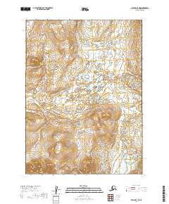
2019 · Iliamna D-7 NE
USGS Topo · 1:25,000