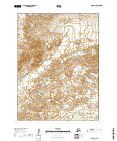
2019 Map of Iliamna C-8 NE
USGS Topo · Published 2019About this map
Kaskanak Cr meanders through this remote portion of the Lake and Peninsula Borough, defining a landscape dominated by a intricate network of ponds, small lakes, and wetland complexes. This 2019 survey, produced by the U.S. Geological Survey, uses high-resolution data to document a territory where water and terrain are in constant flux. The absence of named settlements or roads underscores the wilderness character of the region, where the primary organizational structure is the Public Land Survey System. The map traces the intersecting boundaries of Townships 5 and 6 South, across Ranges 37 and 38 West, providing a precise topographic reference for this roadless interior of Alaska. The dense concentration of water bodies suggests a complex glacial or permafrost-influenced hydrology that remains largely untouched by infrastructure.
Find a feature on this map
5 named features on this map. Tap any name to fly to it.
Don’t see what you’re looking for? This feature index may not catch every label — zoom into the map to look around manually.
Map Details
Editions of this 2019 Iliamna C-8 NE Map
This is the sole edition of this map. No revisions or reprints were ever made.
Other maps of this area

1952 · Iliamna
USGS Topo · 1:250,000

1954 · Iliamna C-8
USGS Topo · 1:63,360

1954 · Iliamna D-8
USGS Topo · 1:63,360
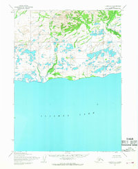
1954 · Iliamna C-7
USGS Topo · 1:63,360

1954 · Iliamna D-7
USGS Topo · 1:63,360

1957 · Iliamna
USGS Topo · 1:250,000
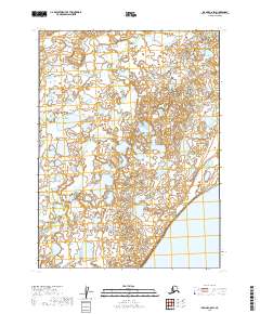
2019 · Iliamna C-8 SW
USGS Topo · 1:25,000
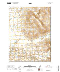
2019 · Iliamna D-7 SW
USGS Topo · 1:25,000
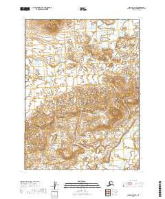
2019 · Iliamna C-8 NW
USGS Topo · 1:25,000
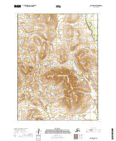
2019 · Iliamna D-8 SW
USGS Topo · 1:25,000