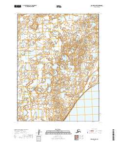
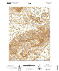
2019 Map of Iliamna C-8 SW
USGS Topo · Published 2019About this map
Iliamna Lake anchors the southeastern corner of this landscape in the Lake and Peninsula Borough, where the vast freshwater shoreline meets a complex network of wetlands and tundra. The terrain is defined by the winding course of Kaskanak Cr, which meanders across the central and western sections of the quadrangle. This hydrographic system reflects the typical drainage patterns of the region, where numerous small ponds and marshy areas dominate the surface. The map documents the intricate township and range divisions, such as t7s r39w, which provide a structural framework for this remote Alaskan wilderness. While the area lacks developed roads or permanent settlements, the detailed contour intervals and water features offer essential data for navigating this portion of the Bristol Bay watershed.
Find a feature on this map
9 named features on this map. Tap any name to fly to it.
Don’t see what you’re looking for? This feature index may not catch every label — zoom into the map to look around manually.
Map Details
Editions of this 2019 Iliamna C-8 SW Map
This is the sole edition of this map. No revisions or reprints were ever made.
Other maps of this area

1951 · Dillingham
USGS Topo · 1:250,000

1952 · Iliamna
USGS Topo · 1:250,000

1954 · Iliamna C-8
USGS Topo · 1:63,360

1954 · Dillingham
USGS Topo · 1:250,000
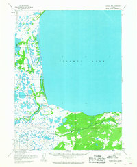
1954 · Iliamna B-8
USGS Topo · 1:63,360

1954 · Dillingham C-1
USGS Topo · 1:63,360
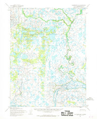
1954 · Dillingham B-1
USGS Topo · 1:63,360

1957 · Iliamna
USGS Topo · 1:250,000
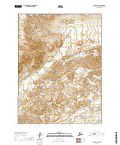
2019 · Iliamna C-8 NE
USGS Topo · 1:25,000
2019 · Iliamna C-8 NW
USGS Topo · 1:25,000