
1954 Map of Dillingham C-1
USGS Topo · Published 1968About this map
The Stuyahok River meanders across this northern Bristol Bay region, defining a landscape of complex waterways and unnamed tundra ponds. This 1954 field annotation, published in the late 1960s, documents a remote expanse of the Alaska interior where the natural drainage patterns of the Stuyahok River and Kaskanak Creek dominate the topography. The map illustrates a transitional terrain between the lowland marshes and the elevated ridges in the central portion of the quadrangle. With no roads or trails indicated during this survey, the river systems represent the primary corridors for movement through this subarctic environment. The lack of named settlements reflects the wilderness character of the area at the mid-century, providing a baseline for environmental historians and researchers studying the hydrology of the Kvichak River watershed.
Find a feature on this map
3 named features on this map. Tap any name to fly to it.
Don’t see what you’re looking for? This feature index may not catch every label — zoom into the map to look around manually.
Map Details
Editions of this 1954 Dillingham C-1 Map
This is the sole edition of this map. No revisions or reprints were ever made.
Other maps of this area

1951 · Dillingham
USGS Topo · 1:250,000

1952 · Iliamna
USGS Topo · 1:250,000

1954 · Iliamna C-8
USGS Topo · 1:63,360

1954 · Iliamna D-8
USGS Topo · 1:63,360

1954 · Dillingham
USGS Topo · 1:250,000
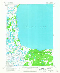
1954 · Iliamna B-8
USGS Topo · 1:63,360

1954 · Dillingham D-2
USGS Topo · 1:63,360
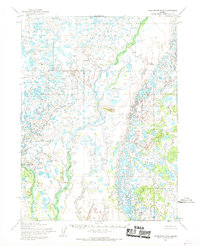
1954 · Dillingham B-2
USGS Topo · 1:63,360

1954 · Dillingham C-2
USGS Topo · 1:63,360

1954 · Dillingham D-1
USGS Topo · 1:63,360