
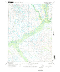
1954 Map of Dillingham D-2
USGS Topo · Published 1968About this map
The Mulchatna River and its complex network of tributaries define this mid-century sub-arctic wilderness, captured through photogrammetric methods in the 1950s. The landscape is dominated by the winding course of the Koktulii River and Old Man Creek, which flow through a dense matrix of muskeg and small lakes typical of the Nushagak River basin. Evidence of human presence is sparse but notable, with Cabins and a singular Cabin situated along the riverbanks, alongside unidentified Ruins that suggest earlier seasonal use or settlement. This survey also records the small settlement of Stuyahok near the confluence with the Stuyahok River. The map highlights a remote area where transportation and survival were inextricably tied to the river systems, long before any roads or established trails were documented in the region.
Find a feature on this map
10 named features on this map. Tap any name to fly to it.
Don’t see what you’re looking for? This feature index may not catch every label — zoom into the map to look around manually.
Map Details
Editions of this 1954 Dillingham D-2 Map
3 editions found
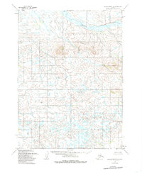
Other maps of this area

1950 · Taylor Mountains
USGS Topo · 1:250,000

1951 · Taylor Mountains
USGS Topo · 1:250,000

1951 · Dillingham
USGS Topo · 1:250,000

1954 · Taylor Mountains
USGS Topo · 1:250,000

1954 · Dillingham
USGS Topo · 1:250,000

1954 · Dillingham C-3
USGS Topo · 1:63,360

1954 · Dillingham C-1
USGS Topo · 1:63,360

1954 · Dillingham D-3
USGS Topo · 1:63,360

1954 · Dillingham C-2
USGS Topo · 1:63,360

1954 · Taylor Mountains A-2
USGS Topo · 1:63,360