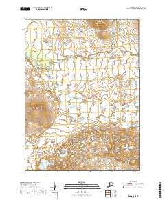
2019 Map of Iliamna D-8 SE
USGS Topo · Published 2019About this map
Koktuli River meanders across this northern landscape, defining the character of the terrain in the Iliamna region. The hydrology shows an intricate network of wetlands and small water bodies that dominate the valley floor between rising contour elevations. Surveyed in the late 2010s, the map provides a look at the township and range divisions, including t3s r38w, which frame the undeveloped wilderness. The absence of roads or established settlements emphasizes the remote, natural state of this area within the Lake and Peninsula Borough. For those interested in the environmental history of the Alaska Peninsula, this sheet documents the specific drainage patterns and land classifications of the upper river basin during this era.
Find a feature on this map
7 named features on this map. Tap any name to fly to it.
Don’t see what you’re looking for? This feature index may not catch every label — zoom into the map to look around manually.
Map Details
Editions of this 2019 Iliamna D-8 SE Map
This is the sole edition of this map. No revisions or reprints were ever made.
Other maps of this area

1952 · Iliamna
USGS Topo · 1:250,000

1954 · Iliamna C-8
USGS Topo · 1:63,360

1954 · Iliamna D-8
USGS Topo · 1:63,360
1954 · Iliamna C-7
USGS Topo · 1:63,360

1954 · Iliamna D-7
USGS Topo · 1:63,360

1957 · Iliamna
USGS Topo · 1:250,000
2019 · Iliamna D-7 NW
USGS Topo · 1:25,000
2019 · Iliamna C-8 NE
USGS Topo · 1:25,000
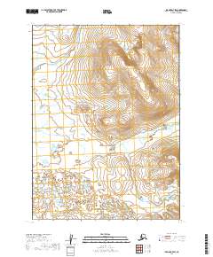
2019 · Iliamna D-7 SW
USGS Topo · 1:25,000
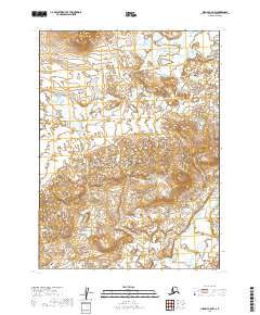
2019 · Iliamna C-8 NW
USGS Topo · 1:25,000