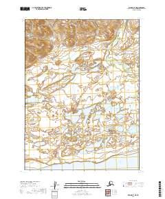
2019 Map of Iliamna C-7 NE
USGS Topo · Published 2019About this map
Iliamna Lake anchors the southern boundary of this remote Alaskan landscape, where the water meets a low-lying network of wetlands and tundra. The terrain is defined by the braided drainage patterns of Upper Talarik Creek, which winds through the eastern portion of the map. This area is characterized by an intricate system of small ponds and marshes, typical of the Bristol Bay drainage basin. The sparse labeling reflects the undeveloped nature of the shoreline and the surrounding interior, where the land-survey grid markers like t6s r35w and t5s r36w provide the only structural reference points for navigation or land-use studies. The map serves as a detailed record of the natural hydrology and elevation before any significant human infrastructure or permanent settlements reached this specific section of the Lake and Peninsula Borough.
Find a feature on this map
7 named features on this map. Tap any name to fly to it.
Don’t see what you’re looking for? This feature index may not catch every label — zoom into the map to look around manually.
Map Details
Editions of this 2019 Iliamna C-7 NE Map
This is the sole edition of this map. No revisions or reprints were ever made.
Other maps of this area

1952 · Iliamna
USGS Topo · 1:250,000

1954 · Iliamna C-6
USGS Topo · 1:63,360
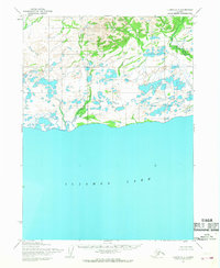
1954 · Iliamna C-7
USGS Topo · 1:63,360

1954 · Iliamna D-7
USGS Topo · 1:63,360
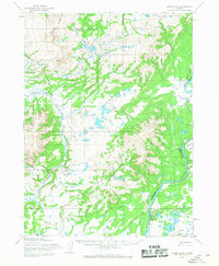
1954 · Iliamna D-6
USGS Topo · 1:63,360

1957 · Iliamna
USGS Topo · 1:250,000
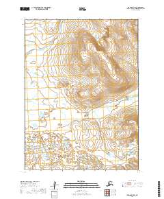
2019 · Iliamna D-7 SW
USGS Topo · 1:25,000
2019 · Iliamna C-7 SE
USGS Topo · 1:25,000
2019 · Iliamna D-7 SE
USGS Topo · 1:25,000
2019 · Iliamna C-7 SW
USGS Topo · 1:25,000