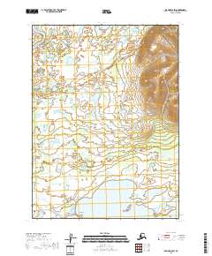
2018 Map of Iliamna D-5 SW
USGS Topo · Published 2018About this map
The settlement of Iliamna serves as the focal point of this coastal landscape, situated near the northeastern shores of Iliamna Lake. This 2018 survey reveals a network of local transit including Missionary Lane, C C Road, and the Iliamna-Village Road, which connects the main township to nearby Seversens. The topography is defined by the transition from the expansive waters of Northeast Bay and Whistlewing Bay toward the interior wetlands and tundra.
Find a feature on this map
25 named features on this map. Tap any name to fly to it.
Don’t see what you’re looking for? This feature index may not catch every label — zoom into the map to look around manually.
Map Details
Editions of this 2018 Iliamna D-5 SW Map
This is the sole edition of this map. No revisions or reprints were ever made.
Other maps of this area

1952 · Iliamna
USGS Topo · 1:250,000

1954 · Iliamna C-6
USGS Topo · 1:63,360

1954 · Iliamna C-5
USGS Topo · 1:63,360

1954 · Iliamna D-5
USGS Topo · 1:63,360
1954 · Iliamna D-6
USGS Topo · 1:63,360

1957 · Iliamna
USGS Topo · 1:250,000
2018 · Iliamna D-5 SE
USGS Topo · 1:25,000
2018 · Iliamna D-5 NW
USGS Topo · 1:25,000
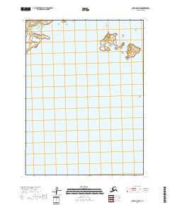
2018 · Iliamna C-5 NW
USGS Topo · 1:25,000
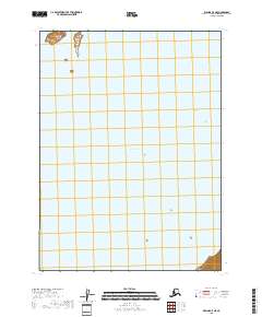
2018 · Iliamna C-5 NE
USGS Topo · 1:25,000