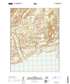
2019 Map of Iliamna C-6 NW
USGS Topo · Published 2019About this map
Iliamna Lake dominates the southern landscape of this remote coastal reach in the Lake and Peninsula Borough. The terrain is defined by a complex network of wetlands and tundra drainage, where Upper Talarik Cr winds across the western section toward the massive freshwater basin. To the northeast, the smaller drainage of Pete Andrews Cr meanders through the lowlands, illustrating the hydrological patterns of the Bristol Bay watershed. This 2019 data represents a landscape largely free of permanent road infrastructure or named settlements, highlighting the wilderness character of the region. The map preserves the township and range grid system, including t5s r35w and t6s r34w, which provide the primary spatial framework for land management in this roadless area.
Find a feature on this map
7 named features on this map. Tap any name to fly to it.
Don’t see what you’re looking for? This feature index may not catch every label — zoom into the map to look around manually.
Map Details
Editions of this 2019 Iliamna C-6 NW Map
This is the sole edition of this map. No revisions or reprints were ever made.
Other maps of this area

1952 · Iliamna
USGS Topo · 1:250,000

1954 · Iliamna C-6
USGS Topo · 1:63,360
1954 · Iliamna C-7
USGS Topo · 1:63,360

1954 · Iliamna D-7
USGS Topo · 1:63,360
1954 · Iliamna D-6
USGS Topo · 1:63,360

1957 · Iliamna
USGS Topo · 1:250,000
2019 · Iliamna C-7 SE
USGS Topo · 1:25,000
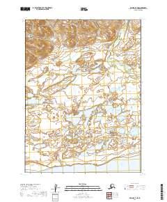
2019 · Iliamna C-7 NE
USGS Topo · 1:25,000
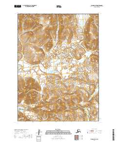
2019 · Iliamna D-7 SE
USGS Topo · 1:25,000
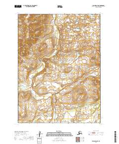
2019 · Iliamna D-6 SW
USGS Topo · 1:25,000