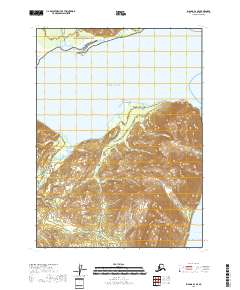
2018 Map of Iliamna D-1 SE
USGS Topo · Published 2018About this map
Lake Clark National Park forms the northern boundary of this maritime landscape, where the peaks of the Aleutian Range meet the cold waters of the Pacific Ocean. The terrain is dominated by the Iniskin Peninsula, a landform defined by prominent summits like Mt Chinitna and South Chinitna Mtn. The coastline is marked by a series of geographic landmarks, from the sandy reaches of Glacier Spit and Seal Spit to the rocky outlooks at Sea Otter Point and Camp Point. Dozens of drainages, including Gaikema Cr, Coffin Cr, and Irish Cr, flow from the interior highlands toward the coast. This map illustrates a transition from protected national park lands to the open waters of Cook Inlet, capturing the drainage patterns and coastal features of a territory accessible primarily by sea or air.
Find a feature on this map
26 named features on this map. Tap any name to fly to it.
Don’t see what you’re looking for? This feature index may not catch every label — zoom into the map to look around manually.
Map Details
Editions of this 2018 Iliamna D-1 SE Map
This is the sole edition of this map. No revisions or reprints were ever made.
Other maps of this area

1949 · Iliamna C-1
USGS Topo · 1:63,360

1951 · Seldovia
USGS Topo · 1:250,000

1952 · Iliamna
USGS Topo · 1:250,000

1957 · Iliamna
USGS Topo · 1:250,000

1958 · Iliamna D-1
USGS Topo · 1:63,360

1958 · Iliamna C-1
USGS Topo · 1:63,360
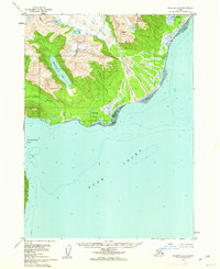
1958 · Seldovia D-8
USGS Topo · 1:63,360

1963 · Seldovia
USGS Topo · 1:250,000
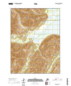
2018 · Iliamna D-1 SW
USGS Topo · 1:25,000
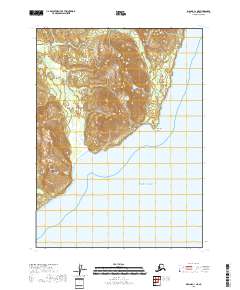
2018 · Iliamna C-1 NE
USGS Topo · 1:25,000