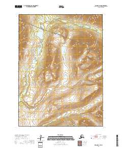
2018 Map of Iliamna D-4 NE
USGS Topo · Published 2018About this map
Lake Clark National Preserve dominates the northern reaches of this landscape in the Lake and Peninsula Borough. The terrain is defined by the significant elevations of the Aleutian Range, where steep contour lines reveal the dramatic verticality of the Alaskan wilderness. Water systems are the primary focal points of the lowlands, centered on the sizeable Chekok Lake and the winding course of Chekok Creek. In the southern portion of the quadrangle, Canyon Cr cuts through the high ground, illustrating the drainage patterns of this sparsely settled region. The map provides a detailed look at the township and range boundaries, including t2s r29w and t3s r28w, which organize this vast territory of protected parkland and rugged summits.
Find a feature on this map
9 named features on this map. Tap any name to fly to it.
Don’t see what you’re looking for? This feature index may not catch every label — zoom into the map to look around manually.
Map Details
Editions of this 2018 Iliamna D-4 NE Map
This is the sole edition of this map. No revisions or reprints were ever made.
Other maps of this area

1946 · Lake Clark
USGS Topo · 1:250,000

1951 · Lake Clark
USGS Topo · 1:250,000

1952 · Iliamna
USGS Topo · 1:250,000

1954 · Lake Clark A-3
USGS Topo · 1:63,360

1954 · Iliamna D-3
USGS Topo · 1:63,360

1954 · Iliamna D-4
USGS Topo · 1:63,360

1954 · Lake Clark A-4
USGS Topo · 1:63,360

1957 · Iliamna
USGS Topo · 1:250,000

1958 · Lake Clark
USGS Topo · 1:250,000
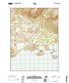
2018 · Iliamna D-4 SW
USGS Topo · 1:25,000