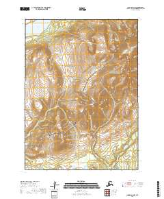
2018 Map of Iliamna D-4 NW
USGS Topo · Published 2018About this map
Lake Clark National Preserve dominates the landscape of this high-elevation Alaskan wilderness, showcasing the protected transition between mountain peaks and expansive glacial lakes. The northern boundary of the map captures a significant portion of Lower Tazimina Lake, which sits in a deep basin surrounded by steep ridgelines that rise over 3,000 feet. In the southern reaches, the drainage of Chekok Cr winds through the lower valleys, marking the natural flow of water toward larger river systems. The map illustrates a strictly natural domain, with no roads or permanent structures indicated, reflecting the primitive state of the Lake and Peninsula Borough in this era of conservation. The precise contour work highlights the dramatic vertical relief that characterizes this subarctic ecosystem.
Find a feature on this map
7 named features on this map. Tap any name to fly to it.
Don’t see what you’re looking for? This feature index may not catch every label — zoom into the map to look around manually.
Map Details
Editions of this 2018 Iliamna D-4 NW Map
This is the sole edition of this map. No revisions or reprints were ever made.
Other maps of this area

1946 · Lake Clark
USGS Topo · 1:250,000

1951 · Lake Clark
USGS Topo · 1:250,000

1952 · Iliamna
USGS Topo · 1:250,000

1954 · Iliamna D-4
USGS Topo · 1:63,360

1954 · Lake Clark A-4
USGS Topo · 1:63,360

1954 · Lake Clark A-5
USGS Topo · 1:63,360

1954 · Iliamna D-5
USGS Topo · 1:63,360

1957 · Iliamna
USGS Topo · 1:250,000

1958 · Lake Clark
USGS Topo · 1:250,000
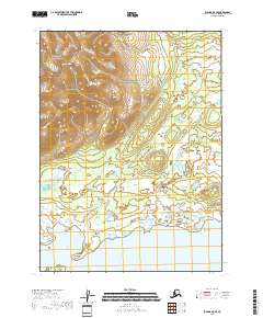
2018 · Iliamna D-5 SE
USGS Topo · 1:25,000