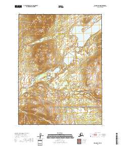
2018 Map of Iliamna D-5 NE
USGS Topo · Published 2018About this map
Lake Clark National Preserve dominates this section of the Lake and Peninsula Borough, where the high-altitude landscape is defined by the flow of the Tazimina River. The river winds through a series of valleys, connecting smaller upland water bodies to the larger Lower Tazimina Lake in the northeastern corner of the map. This 2018 survey illustrates the complex hydrography and topography of the region, showing how glacial and riverine processes have carved the terrain within the preserve boundaries. The lack of established roads or settlements highlights the wilderness character of this area, where the drainage patterns of the Tazimina River serve as the primary geographical markers for navigation and study.
Find a feature on this map
8 named features on this map. Tap any name to fly to it.
Don’t see what you’re looking for? This feature index may not catch every label — zoom into the map to look around manually.
Map Details
Editions of this 2018 Iliamna D-5 NE Map
This is the sole edition of this map. No revisions or reprints were ever made.
Other maps of this area

1946 · Lake Clark
USGS Topo · 1:250,000

1951 · Lake Clark
USGS Topo · 1:250,000

1952 · Iliamna
USGS Topo · 1:250,000

1954 · Iliamna D-4
USGS Topo · 1:63,360

1954 · Lake Clark A-4
USGS Topo · 1:63,360

1954 · Lake Clark A-5
USGS Topo · 1:63,360

1954 · Iliamna D-5
USGS Topo · 1:63,360

1957 · Iliamna
USGS Topo · 1:250,000

1958 · Lake Clark
USGS Topo · 1:250,000
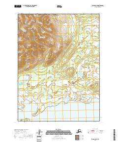
2018 · Iliamna D-5 SE
USGS Topo · 1:25,000