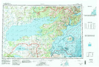
1957 Map of Iliamna
USGS Topo · Published 1986About this map
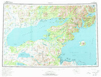
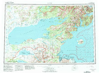
Iliamna Lake dominates this mid-century survey, surrounded by the diverse terrain of southwestern Alaska where freshwater systems meet the saltwater of Kamishak Bay. The map records a transition in regional access, documenting the Iliamna Airport alongside an older Native Trail and a historic Old Roadhouse. Small settlements like Nondalton and Pedro Bay Village appear on the northern shores, while the eastern edge is defined by the volcanic presence of Augustine Island (Augustine Volcano) in the Cook Inlet.
Find a feature on this map
70 named features on this map. Tap any name to fly to it.
Don’t see what you’re looking for? This feature index may not catch every label — zoom into the map to look around manually.
Map Details
Editions of this 1957 Iliamna Map
7 editions found

Other maps of this area

1944 · Kenai
USGS Topo · 1:250,000

1946 · Lake Clark
USGS Topo · 1:250,000

1948 · Mt Katmai
USGS Topo · 1:250,000

1949 · Iliamna C-1
USGS Topo · 1:63,360

1950 · Kenai
USGS Topo · 1:250,000

1950 · Taylor Mountains
USGS Topo · 1:250,000

1951 · Lake Clark
USGS Topo · 1:250,000

1951 · Taylor Mountains
USGS Topo · 1:250,000

1951 · Dillingham
USGS Topo · 1:250,000

1951 · Mt Katmai
USGS Topo · 1:250,000