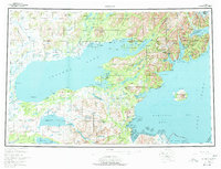
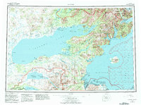
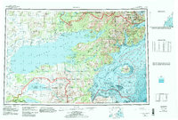
1957 Map of Iliamna
USGS Topo · Published 1977About this map
Iliamna Lake dominates this mid-century survey, surrounded by isolated settlements and roadhouses that served as critical links in the Alaskan interior. To the north, Nondalton and Fish Village sit along Sixmile Lake, while the shoreline of the great lake is dotted with established locales like Newhalen, Iliamna, and Seversens Roadhouse. This era precedes modern infrastructure, relying instead on a Native Trail and the complex water systems of the Tazimina River and Kakhonak Bay. The map records a landscape of transition where the State Game Sanctuary and Katmai National Monument meet the sea at Cook Inlet. Further east, the volcanic activity of Augustine Island stands prominently in Kamishak Bay, marking the dramatic geological boundary of the Aleutian Range near coastal outposts like Chenik and Amakdedori.
Find a feature on this map
159 named features on this map. Tap any name to fly to it.
Don’t see what you’re looking for? This feature index may not catch every label — zoom into the map to look around manually.
Map Details
Editions of this 1957 Iliamna Map
7 editions found

Other maps of this area

1944 · Kenai
USGS Topo · 1:250,000

1946 · Lake Clark
USGS Topo · 1:250,000

1948 · Mt Katmai
USGS Topo · 1:250,000

1949 · Iliamna C-1
USGS Topo · 1:63,360

1950 · Kenai
USGS Topo · 1:250,000

1950 · Taylor Mountains
USGS Topo · 1:250,000

1951 · Lake Clark
USGS Topo · 1:250,000

1951 · Taylor Mountains
USGS Topo · 1:250,000

1951 · Dillingham
USGS Topo · 1:250,000

1951 · Mt Katmai
USGS Topo · 1:250,000