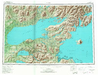
1957 Map of Iliamna
USGS Topo · Published 1967About this map
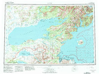
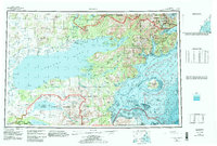
Iliamna Lake dominates this 1957 landscape, serving as a massive hydrological hub for the surrounding wilderness. From the northern shores at Iliamna and Newhalen, the terrain rises toward peaks like Roadhouse Mountain, while the southern expanse reaches toward the remote borders of Katmai National Monument. The map captures a transition from the deep freshwater system of Kukaklek Lake and Nonvianuk Lake to the tidal waters of Cook Inlet, where Augustine Island (Volcano) stands as a prominent maritime landmark.
Find a feature on this map
51 named features on this map. Tap any name to fly to it.
Don’t see what you’re looking for? This feature index may not catch every label — zoom into the map to look around manually.
Map Details
Editions of this 1957 Iliamna Map
7 editions found

Other maps of this area

1944 · Kenai
USGS Topo · 1:250,000

1946 · Lake Clark
USGS Topo · 1:250,000

1948 · Mt Katmai
USGS Topo · 1:250,000

1949 · Iliamna C-1
USGS Topo · 1:63,360

1950 · Kenai
USGS Topo · 1:250,000

1950 · Taylor Mountains
USGS Topo · 1:250,000

1951 · Lake Clark
USGS Topo · 1:250,000

1951 · Taylor Mountains
USGS Topo · 1:250,000

1951 · Dillingham
USGS Topo · 1:250,000

1951 · Mt Katmai
USGS Topo · 1:250,000