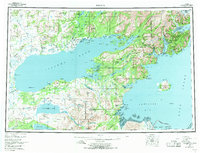
1957 Map of Iliamna
USGS Topo · Published 1971About this map
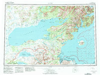
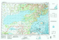
The Newhalen River flows through a landscape defined by the massive expanse of Iliamna Lake and the coastal inlets of the Kenai Peninsula Borough during the late 1950s. This survey documents the critical transportation points of the era, including the Big Mountain Aerodrome and various landing strips that connected isolated settlements like Igiugig and Nondalton. The map captures a period when seasonal and historical sites remained prominent in the geographic record, marking locations such as Old Iliamna (Site) and Amakdedori (Site). The eastern portion of the sheet reveals the complex coastline where Iniskin Bay and Chinitna Bay meet the Cook Inlet, while the southern margin includes the northern reaches of the Katmai National Monument. This cartography highlights the reliance on air and water travel, with specific notes for a Gaging Sta and a Schoolhouse providing evidence of established infrastructure in this wilderness corridor.
Find a feature on this map
155 named features on this map. Tap any name to fly to it.
Don’t see what you’re looking for? This feature index may not catch every label — zoom into the map to look around manually.
Map Details
Editions of this 1957 Iliamna Map
7 editions found

Other maps of this area

1944 · Kenai
USGS Topo · 1:250,000

1946 · Lake Clark
USGS Topo · 1:250,000

1948 · Mt Katmai
USGS Topo · 1:250,000

1949 · Iliamna C-1
USGS Topo · 1:63,360

1950 · Kenai
USGS Topo · 1:250,000

1950 · Taylor Mountains
USGS Topo · 1:250,000

1951 · Lake Clark
USGS Topo · 1:250,000

1951 · Taylor Mountains
USGS Topo · 1:250,000

1951 · Dillingham
USGS Topo · 1:250,000

1951 · Mt Katmai
USGS Topo · 1:250,000