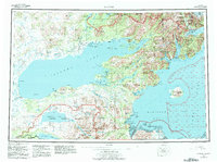
1957 Map of Iliamna
USGS Topo · Published 1983About this map
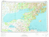
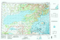
Iliamna Lake dominates this southwestern Alaskan landscape, serving as the central drainage for a complex network of glacial rivers and smaller lakes. To the north, the transition from Lake Clark through the Newhalen River into the main lake illustrates the interconnected nature of the regional waterways. Small settlements and villages like Iliamna, Newhalen, and Nondalton are clustered near these vital water routes, while a Tractor Trail provides a terrestrial link across the interior. The eastern edge of the map shifts dramatically toward the maritime environment of Cook Inlet, where the Augustine Volcano rises from Augustine Island. This 1957 survey, with revisions into the late 1970s, captures a wilderness area increasingly defined by federal designations, including the Katmai National Park and Lake Clark National Preserve, protecting the habitat around Kukaklek Lake and the McNeil River State Game Sanctuary.
Find a feature on this map
115 named features on this map. Tap any name to fly to it.
Don’t see what you’re looking for? This feature index may not catch every label — zoom into the map to look around manually.
Map Details
Editions of this 1957 Iliamna Map
7 editions found

Other maps of this area

1944 · Kenai
USGS Topo · 1:250,000

1946 · Lake Clark
USGS Topo · 1:250,000

1948 · Mt Katmai
USGS Topo · 1:250,000

1949 · Iliamna C-1
USGS Topo · 1:63,360

1950 · Kenai
USGS Topo · 1:250,000

1950 · Taylor Mountains
USGS Topo · 1:250,000

1951 · Lake Clark
USGS Topo · 1:250,000

1951 · Taylor Mountains
USGS Topo · 1:250,000

1951 · Dillingham
USGS Topo · 1:250,000

1951 · Mt Katmai
USGS Topo · 1:250,000