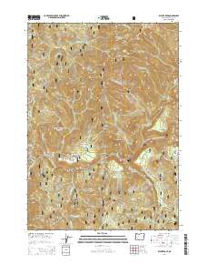
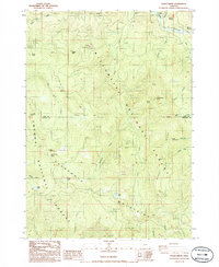
2014 Map of Illahee Rock
USGS Topo · Published 2014About this map
Umpqua National Forest defines the character of this Douglas County landscape, where high-elevation ridgelines and rock outcrops overlook the deeply carved valley of the North Umpqua River. This 2014 survey documents a network of Forest Service roads, including the N Umpqua Hwy and specialized timber access routes like Rosebud TS and Red Devil TS, which navigate the complex terrain. Settlement is concentrated on small riverfront terraces such as Illahee Flats, Little Oak Flat, and Oak Flats, illustrating the limited habitable ground available between the steep canyon walls. Landmark features like Illahee Rock, the Devils Stairway, and Eagle Rock dominate the skyline, while specialized structures like Marsters Bridge provide essential crossings for the region's transport network. The presence of named points like Hole in the Ground and Panther Leap reflects the local vernacular and the long history of travel through these mountain corridors.
Find a feature on this map
69 named features on this map. Tap any name to fly to it.
Don’t see what you’re looking for? This feature index may not catch every label — zoom into the map to look around manually.
Map Details
Editions of this 2014 Illahee Rock Map
This is the sole edition of this map. No revisions or reprints were ever made.
Other maps of this area
1917 · Diamond Lake
USGS Topo · 1:125,000
1955 · Quartz Mtn
USGS Topo · 1:62,500
1955 · Illahee Rock
USGS Topo · 1:62,500
1956 · Toketee Falls
USGS Topo · 1:62,500
1956 · Garwood Butte
USGS Topo · 1:62,500

1958 · Roseburg
USGS Topo · 1:250,000

1959 · Roseburg
USGS Topo · 1:250,000
1978 · Diamond Lake
USGS Topo · 1:100,000
1986 · Toketee Falls
USGS Topo · 1:24,000
1986 · Staley Ridge
USGS Topo · 1:24,000