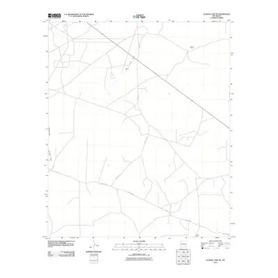
2010 Map of Illinois Camp NE
USGS Topo · Published 2010About this map
Millman Ranch and Benson Ranch stand as primary landmarks in this high-desert stretch of Eddy County during the early 21st century. The landscape is defined by its drainage patterns and ranching infrastructure, with watercourses like Bear Grass Draw and Palmilla Draw cutting through the terrain. These ephemeral features are characteristic of the region, where water management is central to the land's utility.
Find a feature on this map
8 named features on this map. Tap any name to fly to it.
Don’t see what you’re looking for? This feature index may not catch every label — zoom into the map to look around manually.
Map Details
Editions of this 2010 Illinois Camp NE Map
This is the sole edition of this map. No revisions or reprints were ever made.
Other maps of this area
1942 · Clayton Basin
USGS Topo · 1:62,500
1943 · Clayton Basin
USGS Topo · 1:62,500
1943 · Oil City
USGS Topo · 1:62,500

1954 · Carlsbad
USGS Topo · 1:250,000

1954 · Hobbs
USGS Topo · 1:250,000
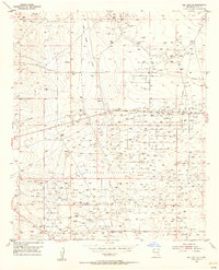
1955 · Red Lake SE
USGS Topo · 1:24,000
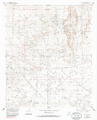
1955 · Red Lake
USGS Topo · 1:24,000

1958 · Carlsbad
USGS Topo · 1:250,000

1958 · Hobbs
USGS Topo · 1:250,000
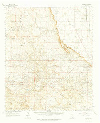
1963 · Maljamar
USGS Topo · 1:62,500