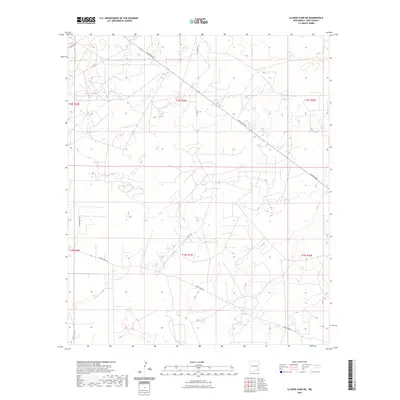
2023 Map of Illinois Camp NE
USGS Topo · Published 2023About this map
The arid ranching landscape of Eddy County is defined by a sparse network of access roads in this recent survey. Local travel is governed by routes with distinctive frontier names, such as Blue Stem Rd and Curry Comb Rd, which cut through the landscape north of the Illinois Camp region. The geography here is structured around the Public Land Survey System, with grid lines for townships t18s r29e and t19s r29e marking the territory. The terrain is characterized by winding tracks like Horse Shoe Rd and Buckskin Rd, which provide access to this open range. This map serves as a modern baseline for understanding the current layout of these rural corridors and the persistent ranching heritage they represent in southeastern New Mexico.
Find a feature on this map
13 named features on this map. Tap any name to fly to it.
Don’t see what you’re looking for? This feature index may not catch every label — zoom into the map to look around manually.
Map Details
Editions of this 2023 Illinois Camp NE Map
This is the sole edition of this map. No revisions or reprints were ever made.
Other maps of this area

1942 · Clayton Basin
USGS Topo · 1:62,500

1943 · Clayton Basin
USGS Topo · 1:62,500

1943 · Oil City
USGS Topo · 1:62,500

1954 · Carlsbad
USGS Topo · 1:250,000

1954 · Hobbs
USGS Topo · 1:250,000

1955 · Red Lake SE
USGS Topo · 1:24,000

1955 · Red Lake
USGS Topo · 1:24,000

1958 · Carlsbad
USGS Topo · 1:250,000

1958 · Hobbs
USGS Topo · 1:250,000

1963 · Maljamar
USGS Topo · 1:62,500