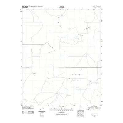
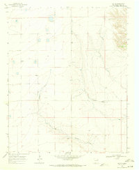
2010 Map of Ima NW
USGS Topo · Published 2010About this map
Alamogordo Valley and the surrounding high plains of eastern New Mexico are defined here by a scattered network of ranching homesteads and seasonal watercourses. Large-scale landholdings like the Hornsby Ranch and Lasater Ranch occupy the plateaus near Luciano Mesa, while drainage from Bull Canyon feeds into the winding Bull Canyon Creek. This landscape represents a modern look at rural land management in Guadalupe County, where the settlement pattern remains largely tied to the topography of the valley floor and the available grazing land.
Find a feature on this map
14 named features on this map. Tap any name to fly to it.
Don’t see what you’re looking for? This feature index may not catch every label — zoom into the map to look around manually.
Map Details
Editions of this 2010 Ima NW Map
This is the sole edition of this map. No revisions or reprints were ever made.
Other maps of this area
1954 · Santa Fe
USGS Topo · 1:250,000

1954 · Fort Sumner
USGS Topo · 1:250,000

1958 · Fort Sumner
USGS Topo · 1:250,000
1958 · Santa Fe
USGS Topo · 1:250,000
1964 · Canada Colorado
USGS Topo · 1:24,000
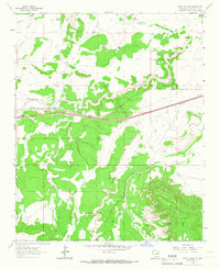
1964 · Gate Canyon
USGS Topo · 1:24,000
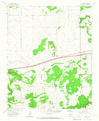
1964 · Newkirk
USGS Topo · 1:24,000
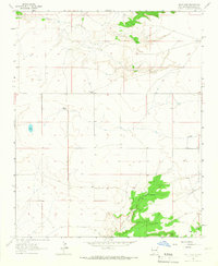
1964 · Salt Lake
USGS Topo · 1:24,000
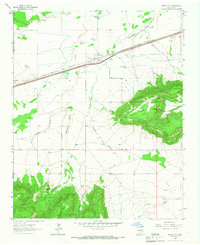
1964 · Montoya
USGS Topo · 1:24,000
1968 · Ima SE
USGS Topo · 1:24,000