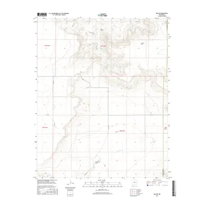
2017 Map of Ima NW
USGS Topo · Published 2017About this map
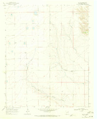
Luciano Mesa dominates the northeastern landscape of this New Mexico quadrangle, where the high desert terrain transitions into the distinct geological features of Bull Canyon. The map reveals a land defined by its drainages, notably Bull Canyon Cr and Alamogordo Cr, which carve through the arid expanses toward the Alamogordo Valley. Human imprint on the area is marked by a network of ranch and back-country roads, including Major Rd and the evocative Moonglow Trl. For genealogists and local historians, the presence of Ruth Cem provides a specific point of reference in an otherwise sparsely populated section of the county. The survey also captures the intersection of several township and range lines, such as t9n r26e and t8n r26e, illustrating the foundational Public Land Survey System structure of this region.
Find a feature on this map
23 named features on this map. Tap any name to fly to it.
Don’t see what you’re looking for? This feature index may not catch every label — zoom into the map to look around manually.
Map Details
Editions of this 2017 Ima NW Map
This is the sole edition of this map. No revisions or reprints were ever made.
Other maps of this area
1954 · Santa Fe
USGS Topo · 1:250,000

1954 · Fort Sumner
USGS Topo · 1:250,000

1958 · Fort Sumner
USGS Topo · 1:250,000
1958 · Santa Fe
USGS Topo · 1:250,000
1964 · Canada Colorado
USGS Topo · 1:24,000
1964 · Gate Canyon
USGS Topo · 1:24,000
1964 · Newkirk
USGS Topo · 1:24,000
1964 · Salt Lake
USGS Topo · 1:24,000
1964 · Montoya
USGS Topo · 1:24,000
1968 · Ima SE
USGS Topo · 1:24,000