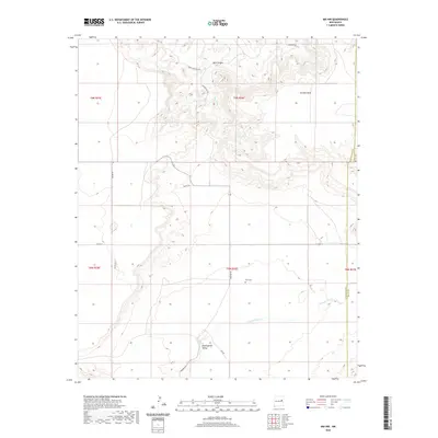
2020 Map of Ima NW
USGS Topo · Published 2020About this map
Alamogordo Valley defines the lower elevations of this landscape, where Alamogordo Cr winds through the southern portion of the quadrangle. The terrain rises significantly toward the north, culminating in the expansive Luciano Mesa and the intricate drainage patterns of Bull Canyon. This 2020 survey reveals a quiet, ranching-oriented network of local roads including Major Rd, Valley Rd, and Red Rock Rd.
Find a feature on this map
22 named features on this map. Tap any name to fly to it.
Don’t see what you’re looking for? This feature index may not catch every label — zoom into the map to look around manually.
Map Details
Editions of this 2020 Ima NW Map
This is the sole edition of this map. No revisions or reprints were ever made.
Other maps of this area

1954 · Santa Fe
USGS Topo · 1:250,000

1954 · Fort Sumner
USGS Topo · 1:250,000

1958 · Fort Sumner
USGS Topo · 1:250,000

1958 · Santa Fe
USGS Topo · 1:250,000

1964 · Canada Colorado
USGS Topo · 1:24,000

1964 · Gate Canyon
USGS Topo · 1:24,000

1964 · Newkirk
USGS Topo · 1:24,000
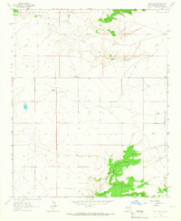
1964 · Salt Lake
USGS Topo · 1:24,000
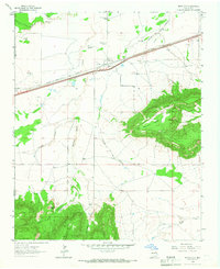
1964 · Montoya
USGS Topo · 1:24,000

1968 · Ima SE
USGS Topo · 1:24,000