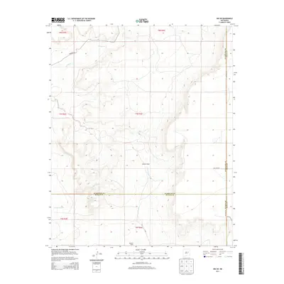
2013 Map of Ima SW
USGS Topo · Published 2013About this map
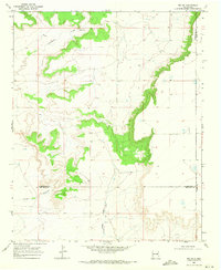
Alamogordo Cr and Arroyo Colorado trace through this high-plains landscape where the boundaries of Guadalupe, Quay, and De Baca counties meet. The terrain is defined by drainage features like Jackson Draw and the Arroyo de Anil, illustrating the natural water management of this arid region. While the area remains largely open rangeland, a sparse network of thoroughfares including Anderson Rd and Quay Road BN provide the primary access to these remote sections. This 2013 survey provides a clear view of the Public Land Survey System (PLSS) grid, showing the township and range divisions such as t7n r26e and t8n r26e that organized the settlement and land ownership of Eastern New Mexico.
Find a feature on this map
16 named features on this map. Tap any name to fly to it.
Don’t see what you’re looking for? This feature index may not catch every label — zoom into the map to look around manually.
Map Details
Editions of this 2013 Ima SW Map
This is the sole edition of this map. No revisions or reprints were ever made.
Other maps of this area

1954 · Fort Sumner
USGS Topo · 1:250,000

1958 · Fort Sumner
USGS Topo · 1:250,000
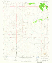
1964 · Canada Colorado
USGS Topo · 1:24,000
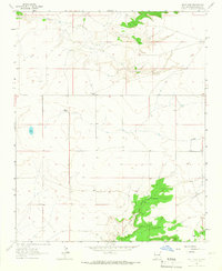
1964 · Salt Lake
USGS Topo · 1:24,000
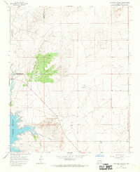
1966 · Colorado Canyon
USGS Topo · 1:24,000
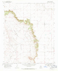
1968 · Hassell
USGS Topo · 1:24,000
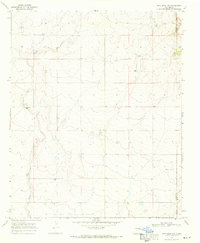
1968 · Twin Mesa NW
USGS Topo · 1:24,000
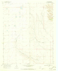
1968 · Ima SE
USGS Topo · 1:24,000
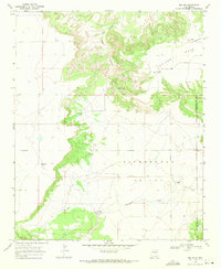
1968 · Ima NW
USGS Topo · 1:24,000
1968 · Ima SW
USGS Topo · 1:24,000