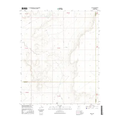
2017 Map of Ima SW
USGS Topo · Published 2017About this map
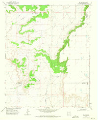
Alamogordo Cr carves through the northern reaches of this high plains landscape, defining the local drainage patterns alongside Arroyo Colorado and Arroyo de Anil. This 2017 survey captures a remote section of Eastern New Mexico where the boundaries of Guadalupe, De Baca, and Quay counties intersect. The map illustrates a sparse network of ranch roads and section lines, including Anderson Rd, Cox Rd, and Diana Rd, which provide access across the varied elevations. To the south, Jackson Draw marks the terrain near the De Baca County line. This area is characterized by its rural isolation and the distinct topographic features of the mesas and draws that shaped the development of local grazing and land management in the region.
Find a feature on this map
21 named features on this map. Tap any name to fly to it.
Don’t see what you’re looking for? This feature index may not catch every label — zoom into the map to look around manually.
Map Details
Editions of this 2017 Ima SW Map
This is the sole edition of this map. No revisions or reprints were ever made.
Other maps of this area

1954 · Fort Sumner
USGS Topo · 1:250,000

1958 · Fort Sumner
USGS Topo · 1:250,000
1964 · Canada Colorado
USGS Topo · 1:24,000
1964 · Salt Lake
USGS Topo · 1:24,000
1966 · Colorado Canyon
USGS Topo · 1:24,000
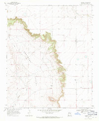
1968 · Hassell
USGS Topo · 1:24,000
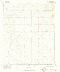
1968 · Twin Mesa NW
USGS Topo · 1:24,000
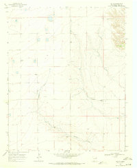
1968 · Ima SE
USGS Topo · 1:24,000
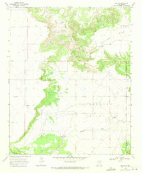
1968 · Ima NW
USGS Topo · 1:24,000
1968 · Ima SW
USGS Topo · 1:24,000