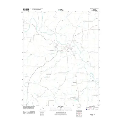
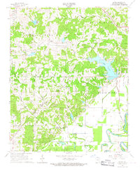
2011 Map of Imboden
USGS Topo · Published 2011About this map
The Spring River dominates the northern landscape of this Lawrence County region, serving as the primary drainage for a network of tributaries including Wells Creek and Wayland Creek. The settlement of Imboden is situated at a bend in the river, showing a developed street grid and local landmarks like Hope Cemetery. South of the river, the terrain is characterized by a series of smaller communities and family-named landmarks that speak to the area's rural heritage.
Find a feature on this map
79 named features on this map. Tap any name to fly to it.
Don’t see what you’re looking for? This feature index may not catch every label — zoom into the map to look around manually.
Map Details
Editions of this 2011 Imboden Map
This is the sole edition of this map. No revisions or reprints were ever made.
Other maps of this area

1934 · Powhatan
USGS Topo · 1:62,500

1935 · Powhatan
USGS Topo · 1:62,500

1957 · Poplar Bluff
USGS Topo · 1:250,000

1959 · Poplar Bluff
USGS Topo · 1:250,000

1960 · Poplar Bluff
USGS Topo · 1:250,000
1965 · Smithville
USGS Topo · 1:24,000

1966 · Ravenden Springs
USGS Topo · 1:24,000
1966 · Ravenden Springs SE
USGS Topo · 1:24,000
1966 · Imboden
USGS Topo · 1:24,000
1966 · Eaton
USGS Topo · 1:24,000