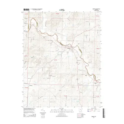
2014 Map of Imboden
USGS Topo · Published 2014About this map
The Spring River winds across the boundary of Lawrence and Randolph counties, anchoring a region defined by its creek-fed valleys and the BNSF Railway. This 2014 survey reveals the structured layout of Imboden, where the grid of W 3rd St and S Main St meets the river's edge. To the northwest, Ravenden marks the transit corridor of US 63 Hwy E, while smaller clusters like Annieville and Sloan are linked by a network of rural routes. Genealogists will find this sheet particularly valuable for its density of burial sites, including Janes Cem, Hope Cem, and Holobaugh Cem, which are scattered throughout the hills of Yeager Hollow and along watercourses like Janes Cr and Stennitt Cr. The presence of the Imboden Lookout Tower and Doctor Ralph Joseph Lake indicates the area's mix of resource management and local landmarks within this Ozark foothills landscape.
Find a feature on this map
105 named features on this map. Tap any name to fly to it.
Don’t see what you’re looking for? This feature index may not catch every label — zoom into the map to look around manually.
Map Details
Editions of this 2014 Imboden Map
This is the sole edition of this map. No revisions or reprints were ever made.
Other maps of this area
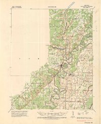
1934 · Powhatan
USGS Topo · 1:62,500
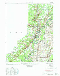
1935 · Powhatan
USGS Topo · 1:62,500

1957 · Poplar Bluff
USGS Topo · 1:250,000
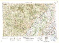
1959 · Poplar Bluff
USGS Topo · 1:250,000
1960 · Poplar Bluff
USGS Topo · 1:250,000
1965 · Smithville
USGS Topo · 1:24,000
1966 · Ravenden Springs
USGS Topo · 1:24,000
1966 · Ravenden Springs SE
USGS Topo · 1:24,000
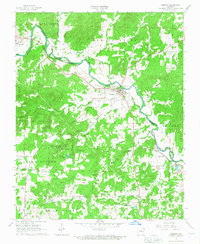
1966 · Imboden
USGS Topo · 1:24,000
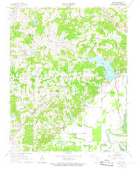
1966 · Eaton
USGS Topo · 1:24,000