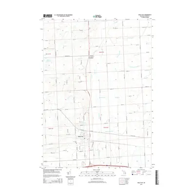
2014 Map of Imlay City
USGS Topo · Published 2014About this map
Imlay City and the northern settlement of Goodland anchor this Lapeer County landscape, defined by an intricate network of agricultural drainage and natural waterways. The southern portion of the map is dominated by the N Br Belle River and the urban street grid of Imlay City, where researchers can identify local landmarks like the Imlay Cem and Mt Calvary Cem. This 2014 survey reveals how the local economy and land use are inextricably linked to water management, visible in the dozens of named channels such as Madison Drain, Black Segate Reid Drain, and Clarks Corner Drain that crisscross the farmland.
Find a feature on this map
101 named features on this map. Tap any name to fly to it.
Don’t see what you’re looking for? This feature index may not catch every label — zoom into the map to look around manually.
Map Details
Editions of this 2014 Imlay City Map
This is the sole edition of this map. No revisions or reprints were ever made.
Other maps of this area

1914 · Armada
USGS Topo · 1:62,500

1928 · Armada
USGS Topo · 1:62,500

1945 · Almont
USGS Topo · 1:24,000

1945 · Allenton
USGS Topo · 1:24,000

1945 · Thornville
USGS Topo · 1:24,000

1952 · Allenton
USGS Topo · 1:24,000

1954 · Detroit
USGS Topo · 1:250,000

1954 · Flint
USGS Topo · 1:250,000

1958 · Flint
USGS Topo · 1:250,000

1961 · Brown City
USGS Topo · 1:24,000