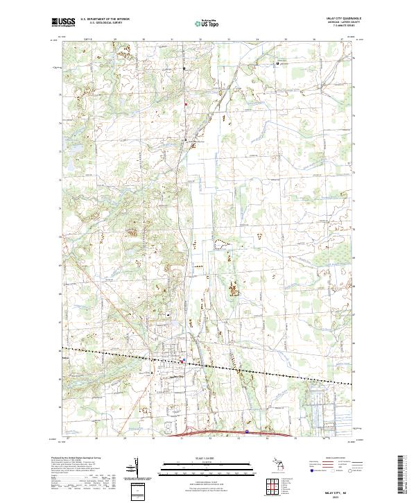
2023 Map of Imlay City
USGS Topo · Published 2023About this map
Imlay City and the nearby village of Attica anchor this 2023 survey of eastern Lapeer County, Michigan. The landscape is defined by an intricate network of agricultural drainage systems, including the North Branch Mill Creek, Wilkie Drain, and East Goodland Drain, which support the region's long-standing farming tradition. These engineered waterways weave between natural features like Pickerel Lake and Bass Lake, illustrating the transformation of the local watershed for industrial and residential use.
Find a feature on this map
119 named features on this map. Tap any name to fly to it.
Don’t see what you’re looking for? This feature index may not catch every label — zoom into the map to look around manually.
Map Details
Editions of this 2023 Imlay City Map
This is the sole edition of this map. No revisions or reprints were ever made.
Other maps of this area

1914 · Armada
USGS Topo · 1:62,500

1928 · Armada
USGS Topo · 1:62,500

1945 · Almont
USGS Topo · 1:24,000

1945 · Allenton
USGS Topo · 1:24,000

1945 · Thornville
USGS Topo · 1:24,000

1952 · Allenton
USGS Topo · 1:24,000

1954 · Detroit
USGS Topo · 1:250,000

1954 · Flint
USGS Topo · 1:250,000

1958 · Flint
USGS Topo · 1:250,000

1961 · Brown City
USGS Topo · 1:24,000